Login

Forgot your login?

Cookies have to be accepted!
Your browser's cookie functionality is disabled. Please enable this functionality.

Not a member yet?

Register now
Login

Available for registred users only

Log in to use this feature.

Forgot your login?

Cookies have to be accepted!
Your browser's cookie functionality is disabled. Please enable this functionality.

Not a member yet?

Register now
Filter
Categories
Advanced filters
  • Distance (km)
  • Height
Save filters Reset filter

TrackRank

QRCode

Technical data

Distance108,7 km Height1132 m Way down1111 m Duration05:30 h:m Date20.09.2006
Scores Author Landscape Fun factor Fitness Technique

Statistics

1598 Views Scores 245 Downloads Average
Rate
  • Track data sheet
  • Directions
  • Downloads
Viel Schotter und auch Teer.
Durch den ehemaligen Truppenübungsplatz Münsingen, nach Gutenberg, und zurück ins kleine Lautertal
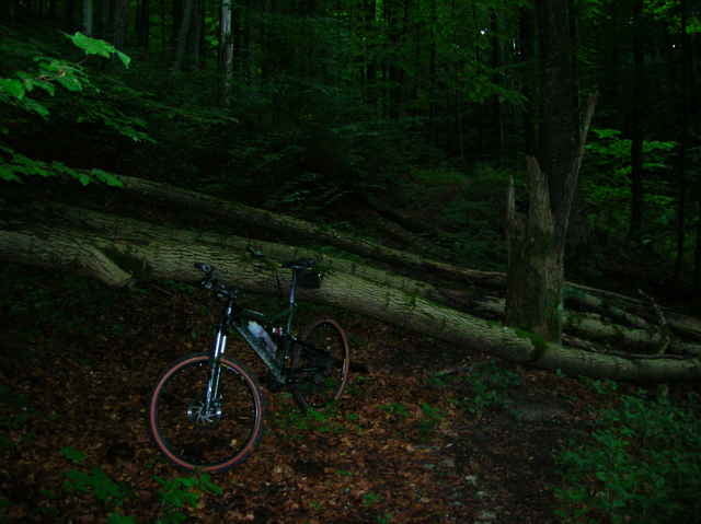
Tour gallery

Tour map and elevation profile

  • Open Street Map
  • Google
Minimum height 505 m Maximum height 857 m Detailed view

More about the tour author

mich5l
Member since 2006

Send private message

Comments

enforce on 02.07.2008

Streckenbeschreibung

zu 99% Wald- und Teerwege. Von KM 61,6 bis 63 S4-Trail. Insgesamt sind die hinterlegeten GPS-Daten recht schwammig und sollten vorher nochmals in Google Earth überarbeitet werden.
painfully58 on 30.05.2009

Kleines Datenloch am Römerstein

Vielen Dank für Deine interessante Tour, die ich nachgefahren bin. Die Abfahrt nach Gutenberg habe ich verpasst und somit ausgelassen. Da haben ein paar Track Punkte gefehlt, vermutlich weil der Wald recht dicht ist. Vielleicht versuche ich es ein andermal.

GPS tracks

Trackpoints
  • GPX / Garmin Map Source (gpx) download
  • TCX / Garmin Training Center® (tcx) download
  • CRS / Garmin Training Center® (crs) download
  • Google Earth (kml) download
  • G7ToWin (g7t) download
  • TTQV (trk) download
  • Overlay (ovl) download
  • Fugawi (txt) download
  • Kompass (DAV) Track (tk) download
  • Track data sheet (pdf) download

More about the tour author

mich5l
Member since 2006

Send private message
Share track
Add to my favorites
Remove from my favorites
Edit tags
My score
Rate
Track: Schw. Alb
Type: Mountain bike
Distance: 108,7 km
Evaluated on:
Duration:
Day(s)
Hour(s)
Minute(s)
Score: Landscape Fun factor Fitness Technique