

Spektakuläre und mit 650Hm noch gut zu fahrende Mountainbiketour auch für Familien
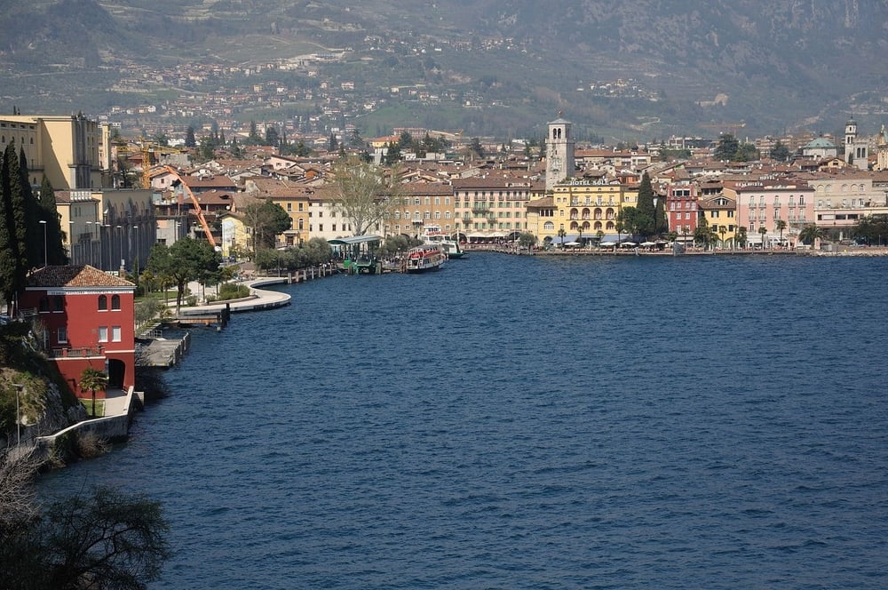
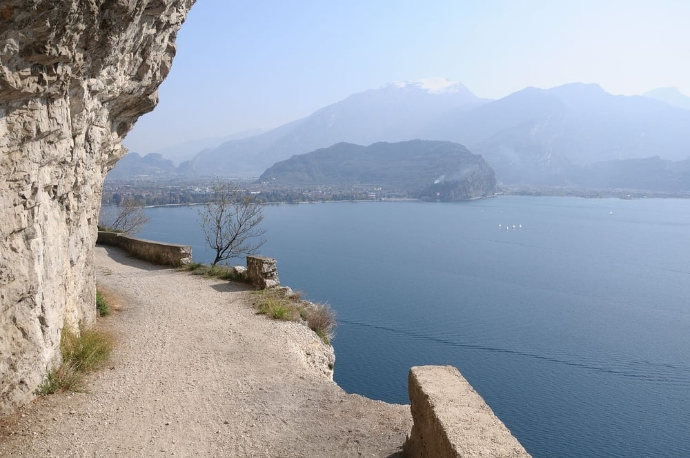
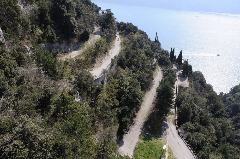
Ausgehend von Riva del Garda ist die alte Ponalestraße mit ihren wirklich sehenswerten Ausblicken auf den Lago di Garda die erste Etappe der Tour. Von Biacesa geht es dann auf Teer und Schotter praktisch autofrei bis zum Lago di Ledro. Dieser wird umrundet. Die Abfahrt ist wie die Auffahrt, was bei diese Landschaft aber kein Manko sondern eine Auszeichnung ist. Die Strecke ist auch für gut trainierte Kinder kein Problem. In der Saison sind sehr viele Biker unterwegs. Rechts fahren! Am Ledro viele Einkehrmöglichkeiten.
Hinweis: Im Höhenprofil und der Tracklänge ist Abfahrt nicht enthalten, da Auf- und Abfahrt gleich sind und die Tracks sich so nicht überlagern. Die Tour ist etwa 33km lang und weist barometrisch gemessen 650Hm auf.
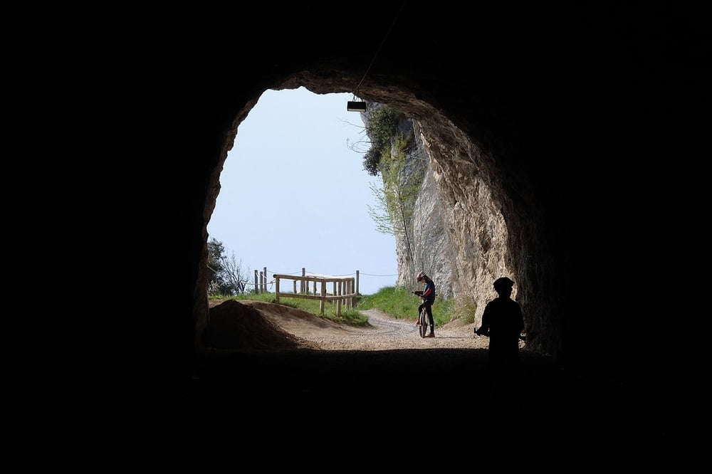
Tour gallery

Tour map and elevation profile
Minimum height 52 m
Maximum height 693 m
More about the tour author
|
|
freizeit-as |
Comments
In Riva etwas außerhalb parken und bis zum See fahren. Von dort auf dem angegebenen Track weiter.
GPS tracks
Trackpoints-
GPX / Garmin Map Source (gpx) download
-
TCX / Garmin Training Center® (tcx) download
-
CRS / Garmin Training Center® (crs) download
-
Google Earth (kml) download
-
G7ToWin (g7t) download
-
TTQV (trk) download
-
Overlay (ovl) download
-
Fugawi (txt) download
-
Kompass (DAV) Track (tk) download
-
Track data sheet (pdf) download
-
Original file of the author (gpx) download
More about the tour author
|
|
freizeit-as |
Add to my favorites
Remove from my favorites
Edit tags
Open track
My score
Rate
Pflichttour