


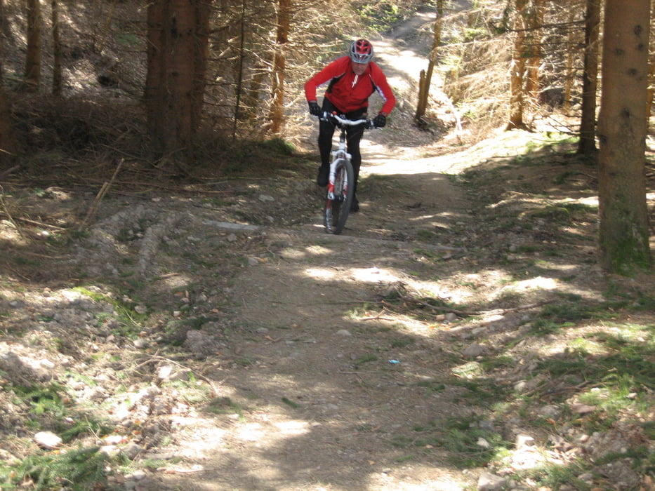
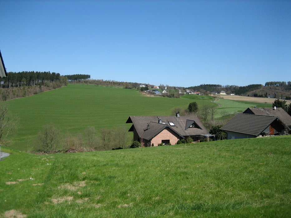
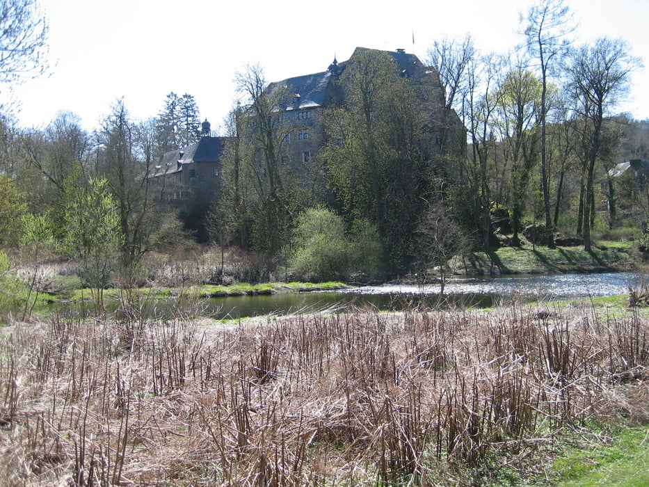
Tour durch eine wunderschöne Landschaft.Von Weitefeld fahren wir über den Steimel nach Alsdorf hinunter und weiter nach Betzdorf durch die Wilhelmstraße bis zur Kreuzung Molzbergstraße.Weiter geht's über den Nizzaweg und die alte Poststraße nach Schönstein.Vorbei am Schloß fahren wir durch das Neubaugebiet Richtung Mittelhof und weiter am Mobilheimpark vorbei nach Dauersberg zur Alm(Einkehr).Von dort aus geht's wieder zurück nach Weitefeld.
Further information at
http://www.die-alm.deTour gallery

Tour map and elevation profile
Minimum height 147 m
Maximum height 478 m
More about the tour author
|
|
torti40 |
Comments

GPS tracks
Trackpoints-
GPX / Garmin Map Source (gpx) download
-
TCX / Garmin Training Center® (tcx) download
-
CRS / Garmin Training Center® (crs) download
-
Google Earth (kml) download
-
G7ToWin (g7t) download
-
TTQV (trk) download
-
Overlay (ovl) download
-
Fugawi (txt) download
-
Kompass (DAV) Track (tk) download
-
Track data sheet (pdf) download
-
Original file of the author (gpx) download
More about the tour author
|
|
torti40 |
Add to my favorites
Remove from my favorites
Edit tags
Open track
My score
Rate