

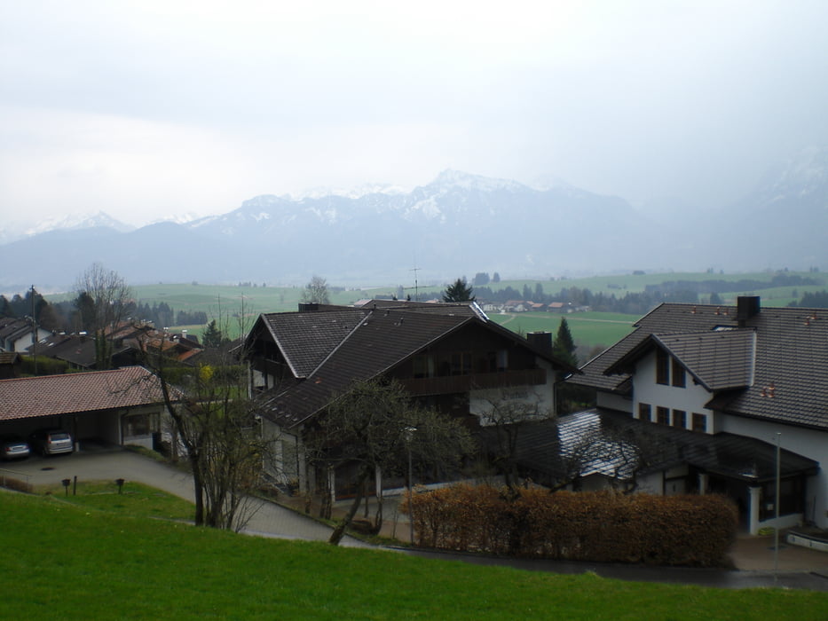
Wunderschöne Tour um sich ein wenig an die Höhe heranzutasten. Leider mußten wir wegen ziemlich starkem Regen abbrechen, werden die Tour jedoch bald möglichst zu Ende fahren. Der Name ist Programm, einfach eine klasse Aussicht.
Start ist in Roßhaupten am Bauhof. Hinter ihm gehts dann stetig steigend bergauf. Im Waldstück muß man sich entweder auf GPS oder angebrachte Schilder verlassen da einige Weggabelungen kommen.
Grundsätzlich wäre auf der Tour ein GPS nicht ganz falsch da die Schilder doch ab und an irre führen können.
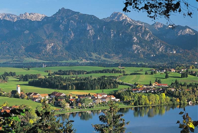
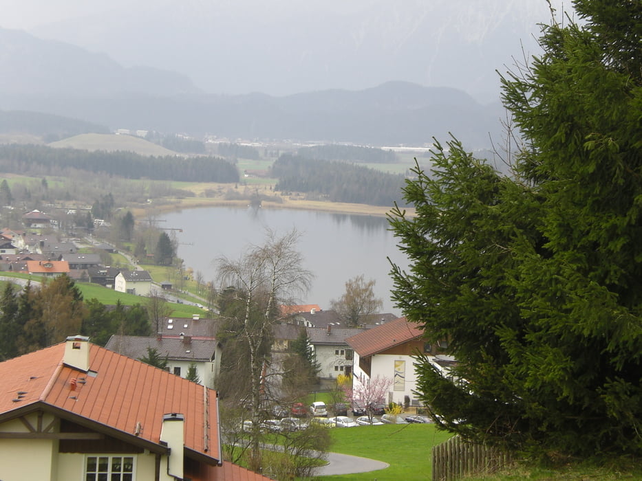
Trotz allem eine wunderbare Tour die nicht nur durch das Panorama am Hopfensee begeistert. Für noch nicht so erfahrene MTB'ler auch eine gute Tour um den Leistungsstand zu ermitteln.
Tour gallery
Tour map and elevation profile
Minimum height 788 m
Maximum height 954 m
More about the tour author

|
DieterK |
Comments

GPS tracks
Trackpoints-
GPX / Garmin Map Source (gpx) download
-
TCX / Garmin Training Center® (tcx) download
-
CRS / Garmin Training Center® (crs) download
-
Google Earth (kml) download
-
G7ToWin (g7t) download
-
TTQV (trk) download
-
Overlay (ovl) download
-
Fugawi (txt) download
-
Kompass (DAV) Track (tk) download
-
Track data sheet (pdf) download
-
Original file of the author (gpx) download
More about the tour author
|
|
DieterK |
Add to my favorites
Remove from my favorites
Edit tags
Open track
My score
Rate