Login

Forgot your login?

Cookies have to be accepted!
Your browser's cookie functionality is disabled. Please enable this functionality.

Not a member yet?

Register now
Login

Available for registred users only

Log in to use this feature.

Forgot your login?

Cookies have to be accepted!
Your browser's cookie functionality is disabled. Please enable this functionality.

Not a member yet?

Register now
Filter
Categories
Advanced filters
  • Distance (km)
  • Height
Save filters Reset filter

TrackRank

QRCode

Technical data

Distance29,2 km Height822 m Way down800 m Duration00:00 h:m Date22.09.2006
Scores Author Landscape Fun factor Fitness Technique

Statistics

1287 Views Scores 488 Downloads Average
Rate
  • Track data sheet
  • Directions
  • Downloads
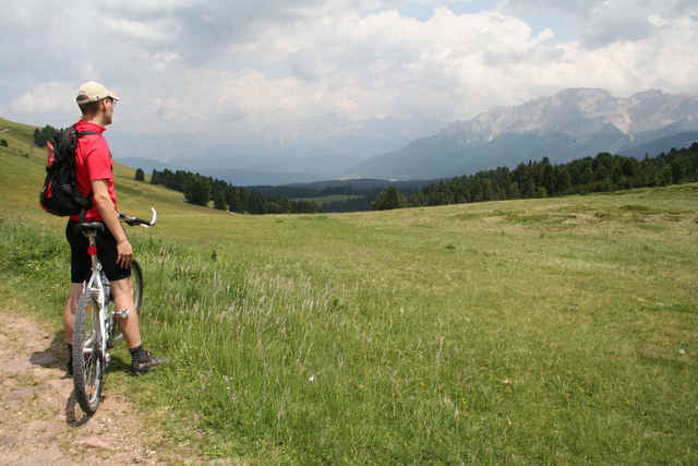
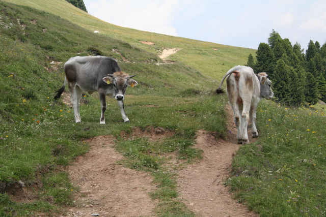
Sehr schöne Auffahrt auf Asphalt und Forstwegen. Wunderbare Abfahrt über Almen und durch kleine Schluchten. Am Schluss „leider“ noch ein kleiner Anschieg.

Sehr zu empfehlen.

Tour gallery

Tour map and elevation profile

  • Open Street Map
  • Google
Minimum height 1344 m Maximum height 2014 m Detailed view

More about the tour author

mephisto666
Member since 2006

Send private message

Comments

Start beim Kreisverkehr vor Deutschnofen.

GPS tracks

Trackpoints
  • GPX / Garmin Map Source (gpx) download
  • TCX / Garmin Training Center® (tcx) download
  • CRS / Garmin Training Center® (crs) download
  • Google Earth (kml) download
  • G7ToWin (g7t) download
  • TTQV (trk) download
  • Overlay (ovl) download
  • Fugawi (txt) download
  • Kompass (DAV) Track (tk) download
  • Track data sheet (pdf) download
  • Original file of the author (gpx) download

More about the tour author

mephisto666
Member since 2006

Send private message
Share track
Add to my favorites
Remove from my favorites
Edit tags
My score
Rate
Track: Rund um das Weißhorn (Deutschnofen)
Type: Mountain bike
Distance: 29,2 km
Evaluated on:
Duration:
Day(s)
Hour(s)
Minute(s)
Score: Landscape Fun factor Fitness Technique