

Hallo Biker,
los geht die schöne Runde in Winkels. Von dort an geht es aufwärts zum Konten, abwärts Richtung Elsoff und wieder rauf zum Knoten. Es folgt Münschhausen und mal wieder eine Auffahrt zum Knoten. Zum Abschluss geht es über die Maienburg zurück nach Winkels.
Die Wege wechsel zwischen Wirtschaftswegen, Feldwegen und Trails, an zwei Stellen muss man auch mal kurz schieben. Also nicht wundern, wenn der Weg kurz unterbrochen ist!
Wer entspannt auf einem Waldweg eine Runde drehen möchte, der sollte sich eine andere Route aussuchen.
Viel SPASS!!!
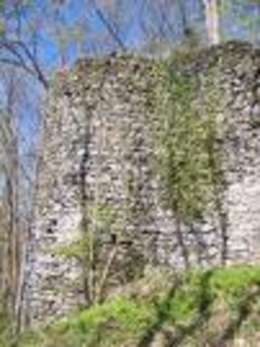
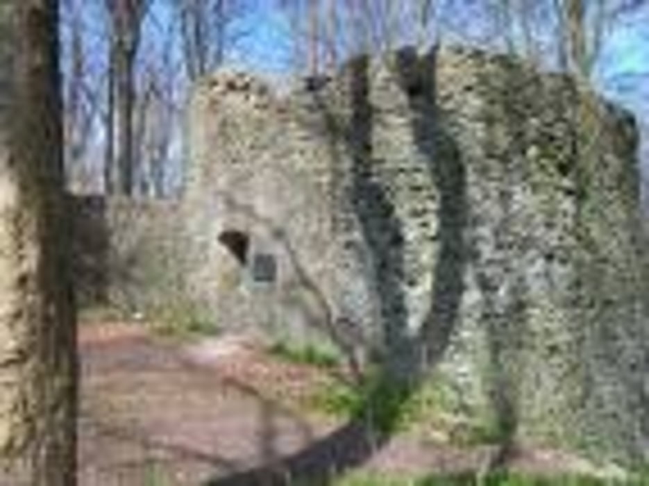
Tour gallery
Tour map and elevation profile
Minimum height 316 m
Maximum height 594 m
More about the tour author

|
naturjunkie |
Comments

http://maps.google.de
GPS tracks
Trackpoints-
GPX / Garmin Map Source (gpx) download
-
TCX / Garmin Training Center® (tcx) download
-
CRS / Garmin Training Center® (crs) download
-
Google Earth (kml) download
-
G7ToWin (g7t) download
-
TTQV (trk) download
-
Overlay (ovl) download
-
Fugawi (txt) download
-
Kompass (DAV) Track (tk) download
-
Track data sheet (pdf) download
-
Original file of the author (gpx) download
More about the tour author
|
|
naturjunkie |
Add to my favorites
Remove from my favorites
Edit tags
Open track
My score
Rate