Login

Forgot your login?

Cookies have to be accepted!
Your browser's cookie functionality is disabled. Please enable this functionality.

Not a member yet?

Register now
Login

Available for registred users only

Log in to use this feature.

Forgot your login?

Cookies have to be accepted!
Your browser's cookie functionality is disabled. Please enable this functionality.

Not a member yet?

Register now
Filter
Categories
Advanced filters
  • Distance (km)
  • Height
Save filters Reset filter

TrackRank

QRCode

Technical data

Distance11,1 km Height367 m Way down47 m Duration01:30 h:m Date22.04.2010
Scores Author Landscape Fun factor Fitness Technique

Statistics

1401 Views Scores 47 Downloads Average
Rate
  • Track data sheet
  • Directions
  • Downloads

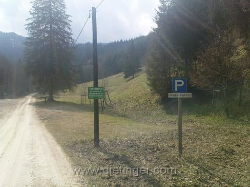
Von Gimplach aus zum Parkplatz Kreuzen . Wildfeld im Trofaiacher Gössgraben

Radfahren ist bis zum letzten Hof erlaubt

Tour gallery

Tour map and elevation profile

  • Open Street Map
  • Google
Minimum height 709 m Maximum height 1040 m Detailed view

More about the tour author

transalper
Member since 2010

Send private message

Comments

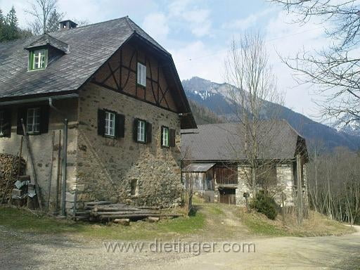
Start beim Gimplacher Feuerwehrhaus

GPS tracks

Trackpoints
  • GPX / Garmin Map Source (gpx) download
  • TCX / Garmin Training Center® (tcx) download
  • CRS / Garmin Training Center® (crs) download
  • Google Earth (kml) download
  • G7ToWin (g7t) download
  • TTQV (trk) download
  • Overlay (ovl) download
  • Fugawi (txt) download
  • Kompass (DAV) Track (tk) download
  • Track data sheet (pdf) download
  • Original file of the author (gpx) download

More about the tour author

transalper
Member since 2010

Send private message
Share track
Add to my favorites
Remove from my favorites
Edit tags
My score
Rate
Track: Gössgraben Trofaiach
Type: Mountain bike
Distance: 11,1 km
Evaluated on:
Duration:
Day(s)
Hour(s)
Minute(s)
Score: Landscape Fun factor Fitness Technique