


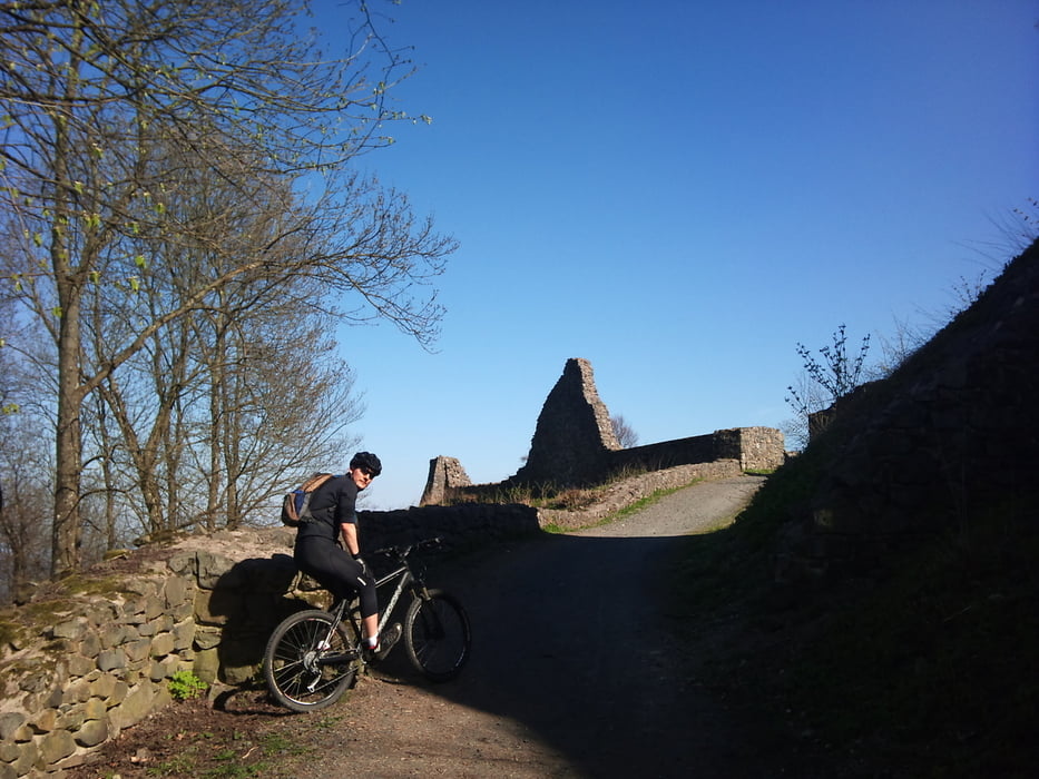
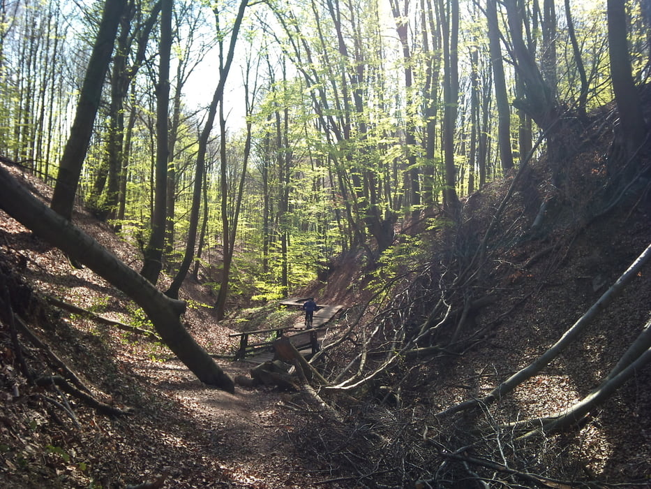
Charmante kleine Feierabendrunde, ide wir öfter fahren. Vom Brunnenplatz in Bad Honnef aus geht es über Schotterwege mit mäßiger bis sportlicher Steigung rauf auf die alte Burgruine Löwenburg. Dort geni´ßen wir ein wenig die Aussicht, um uns dann in den flowigen Downhill zu stürzen. Dieser folgt einem Bachlauf und man überquert mehrere Brücken und Northshores.
Besonders am späten Nachmittag zu empfehlen, weil die Sonne dann ein schönes Licht durch die Bäume wirft. Viel Spaß!
Tour gallery

Tour map and elevation profile
Minimum height 108 m
Maximum height 509 m
More about the tour author
|
|
Ulukaii |
Comments

Treffpunkt/Abfahrt ist der Platz mit dem Brunnen in Rhöndorf. Dort gitb es auch Parkplätze, diese sind aber gerade am WE eher knapp. in den umgebenden Straßen bekommt man aber immer einen Parkplatz.
B42 Abfahrt Rhöndorf, dann nach Rhöndorf reinfahren. Biegt links ab auf die Drachenfelsstraße und sucht einen Parkplatz.
GPS tracks
Trackpoints-
GPX / Garmin Map Source (gpx) download
-
TCX / Garmin Training Center® (tcx) download
-
CRS / Garmin Training Center® (crs) download
-
Google Earth (kml) download
-
G7ToWin (g7t) download
-
TTQV (trk) download
-
Overlay (ovl) download
-
Fugawi (txt) download
-
Kompass (DAV) Track (tk) download
-
Track data sheet (pdf) download
-
Original file of the author (gpx) download
More about the tour author
|
|
Ulukaii |
Add to my favorites
Remove from my favorites
Edit tags
Open track
My score
Rate