Login

Forgotten password?

Cookies have to be accepted!
Your browser's cookie functionality is disabled. Please enable this functionality.

Not a member yet?

Register now
Login

Available for registred users only

Log in to use this feature.

Forgotten password?

Cookies have to be accepted!
Your browser's cookie functionality is disabled. Please enable this functionality.

Not a member yet?

Register now
Filter
Categories
Advanced filters
  • Distance (km)
  • Height
Save filters Reset filter

TrackRank

QRCode

Technical data

Distance12,8 km Height0 m Way down0 m Duration03:00 h:m Date24.04.2010
Scores Author Landscape Fun factor Fitness Technique

Statistics

2534 Views Scores 89 Downloads Average
Rate
  • Track data sheet
  • Directions
  • Downloads

Essen=Rüttenscheid - Stadtwald - Baldeneyer Berg - Schellenberger Wald - Schloss Schellenberg - Heisinger Ruhraue - Kupferdreh

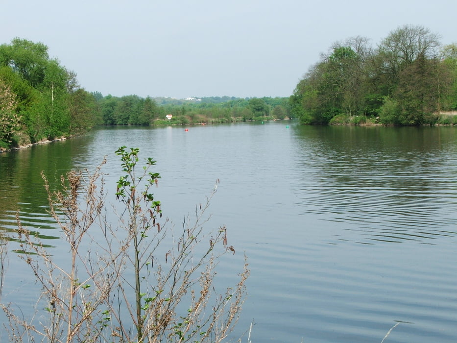
schöne Aussicht auf den Baldeneysee

Tour gallery

Tour map and elevation profile

  • Open Street Map
  • Google
Minimum height 99999 m Maximum height -99999 m Detailed view

More about the tour author

lothardomnik
Member since 2009

Send private message

Comments

Startpunkt: Haltestelle Florastraße der Straßenbahnlinien 101 und 107

Endpunkt: Essen-Kupferdreh Bf. (Zuglinie S9)

GPS tracks

Trackpoints
  • GPX / Garmin Map Source (gpx) download
  • TCX / Garmin Training Center® (tcx) download
  • CRS / Garmin Training Center® (crs) download
  • Google Earth (kml) download
  • G7ToWin (g7t) download
  • TTQV (trk) download
  • Overlay (ovl) download
  • Fugawi (txt) download
  • Kompass (DAV) Track (tk) download
  • Track data sheet (pdf) download
  • Original file of the author (gpx) download

More about the tour author

lothardomnik
Member since 2009

Send private message
Share track
Add to my favorites
Remove from my favorites
Edit tags
My score
Rate
Track: Ruhrgebiet: Baldeneysee Nord
Type: Hiking
Distance: 12,8 km
Evaluated on:
Duration:
Day(s)
Hour(s)
Minute(s)
Score: Landscape Fun factor Fitness Technique