


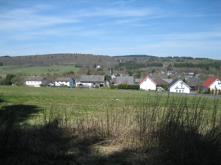
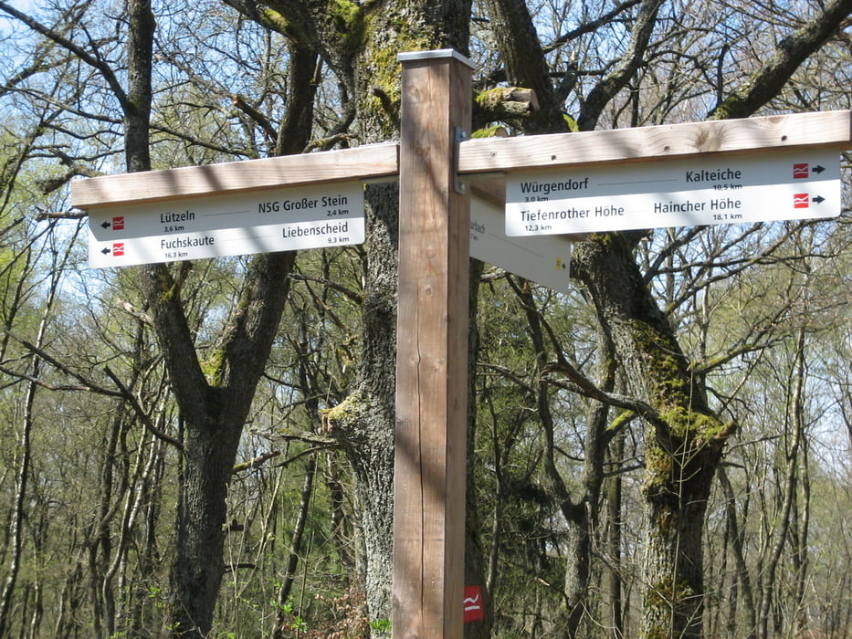
Strecke führt von Weitefeld über den Ort Lippe Richtung Siegerland-Kaserne.An der Kreuzung zur Kaserne rechts in den Wald Richtung Wasserscheide.Kurz vor dem Ort Wasserscheide beginnt dann der Einstieg auf den Rothaarsteig.Von dort immer den roten Schilder folgen bis nach Liebenscheid.Von Liebenscheid gehts dann weiter vorbei an der Grillhütte zum Flughafen(Einkehr) und zurück nach Weitefeld.Schöne Tour mit ein paar gemeinen Anstiegen und schönen Trails.
Further information at
http://www.Rothaarsteig.deTour gallery
Tour map and elevation profile
Minimum height 433 m
Maximum height 619 m
More about the tour author
|
|
torti40 |
Comments

GPS tracks
Trackpoints-
GPX / Garmin Map Source (gpx) download
-
TCX / Garmin Training Center® (tcx) download
-
CRS / Garmin Training Center® (crs) download
-
Google Earth (kml) download
-
G7ToWin (g7t) download
-
TTQV (trk) download
-
Overlay (ovl) download
-
Fugawi (txt) download
-
Kompass (DAV) Track (tk) download
-
Track data sheet (pdf) download
-
Original file of the author (gpx) download
More about the tour author
|
|
torti40 |
Add to my favorites
Remove from my favorites
Edit tags
Open track
My score
Rate