Login

Forgot your login?

Cookies have to be accepted!
Your browser's cookie functionality is disabled. Please enable this functionality.

Not a member yet?

Register now
Login

Available for registred users only

Log in to use this feature.

Forgot your login?

Cookies have to be accepted!
Your browser's cookie functionality is disabled. Please enable this functionality.

Not a member yet?

Register now
Filter
Categories
Advanced filters
  • Distance (km)
  • Height
Save filters Reset filter

TrackRank

QRCode

Technical data

Distance41,7 km Height154 m Way down171 m Duration01:45 h:m Date25.04.2010
Scores Author Landscape Fun factor Fitness Technique

Statistics

281 Views Scores 38 Downloads Average
Rate
  • Track data sheet
  • Directions
  • Downloads

Die Tour beginnt in Unterwössen und führt dann über Marquartstein, Pettendorf, Grassau, Rottau und Bernau nach Prien am Chiemsee und auf dem selben Weg zurück zum Ausgangsort.


Die Strecke verläuft auf der Straße und oftmals auch auf einem asphaltierten Radweg.
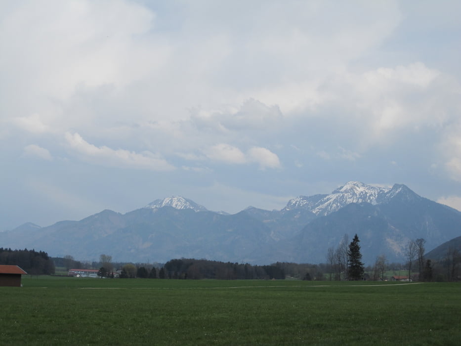
Tour gallery

Tour map and elevation profile

  • Open Street Map
  • Google
Minimum height 520 m Maximum height 571 m Detailed view

More about the tour author

cubeltdteam
Member since 2009

Send private message

Comments

GPS tracks

Trackpoints
  • GPX / Garmin Map Source (gpx) download
  • TCX / Garmin Training Center® (tcx) download
  • CRS / Garmin Training Center® (crs) download
  • Google Earth (kml) download
  • G7ToWin (g7t) download
  • TTQV (trk) download
  • Overlay (ovl) download
  • Fugawi (txt) download
  • Kompass (DAV) Track (tk) download
  • Track data sheet (pdf) download
  • Original file of the author (gpx) download

More about the tour author

cubeltdteam
Member since 2009

Send private message
Share track
Add to my favorites
Remove from my favorites
Edit tags
My score
Rate
Track: Unterwössen-Prien am Chiemsee-zurück
Type: Road biking
Distance: 41,7 km
Evaluated on:
Duration:
Day(s)
Hour(s)
Minute(s)
Score: Landscape Fun factor Fitness Technique