


Die Tour de Murg.
Technisch Null.
Klassischer Ausflug für die Familie.
Wir sind gestartet in Freudenstadt am Hauptbahnhof.
Der ganze Weg führt fast ausschließlich auf super Straßen bergab nach Rastatt. "Aus den Wald rollen" :-)
Aber mit ein paar heftigen kleinen Hügeln die man nicht unerschätzen darf :-)
Zurück gehts mit der Murgtalbahn. 10,50€ je Person...
Viel Sapß!
Further information at
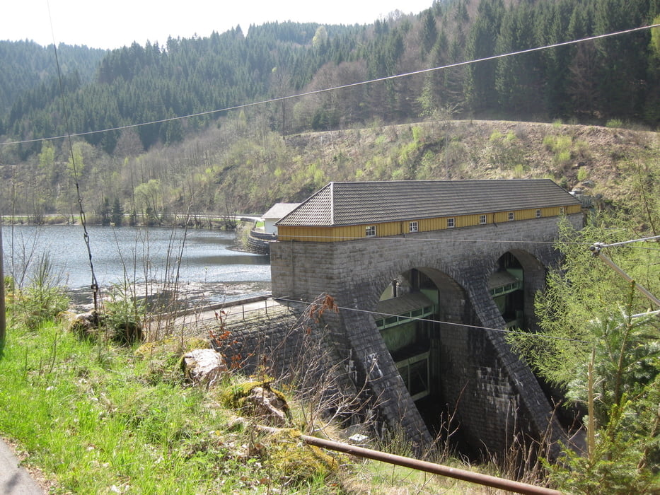
http://www.murgtalbahn.de/Tour gallery


Tour map and elevation profile
Minimum height 103 m
Maximum height 738 m
More about the tour author

|
godofglow |
Comments

Start und Stop war für uns der HAUPTBAHNHOF in Freudenstadt.
Kostenloses Parken!
GPS tracks
Trackpoints-
GPX / Garmin Map Source (gpx) download
-
TCX / Garmin Training Center® (tcx) download
-
CRS / Garmin Training Center® (crs) download
-
Google Earth (kml) download
-
G7ToWin (g7t) download
-
TTQV (trk) download
-
Overlay (ovl) download
-
Fugawi (txt) download
-
Kompass (DAV) Track (tk) download
-
Track data sheet (pdf) download
-
Original file of the author (gpx) download
More about the tour author
|
|
godofglow |
Add to my favorites
Remove from my favorites
Edit tags
Open track
My score
Rate