


Dachsteinrunde blau - schwarze Mischung
1. Tag: Bad Goisern – Bad Aussee – Bad Mitterndorf über den Salzastausee und Viehberg nach Gröbming
2. Tag: Gröbming – durch das Ennstal nach Ramsau – Filzmoos bis Annaberg
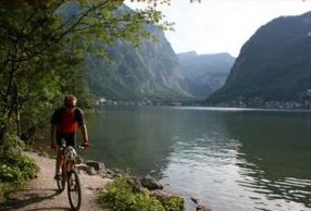
3. Tag: Annaberg, Schindlmais, Klockau, Radlerwirt, Duftholz, Gschwandtleiten, Klockaualm, Hornspitz, direkt zum Vorderen Gosausee, Ebenalm, Vd. Grubenalm, Roßalm, Durchgangalm, Waldstrub, Lahn, Hallstatt, Gosauzwang, Bad Goisern
Tour gallery

Tour map and elevation profile
Minimum height 506 m
Maximum height 1529 m
More about the tour author
|
|
NitramH |
Comments

GPS tracks
Trackpoints-
GPX / Garmin Map Source (gpx) download
-
TCX / Garmin Training Center® (tcx) download
-
CRS / Garmin Training Center® (crs) download
-
Google Earth (kml) download
-
G7ToWin (g7t) download
-
TTQV (trk) download
-
Overlay (ovl) download
-
Fugawi (txt) download
-
Kompass (DAV) Track (tk) download
-
Track data sheet (pdf) download
-
Original file of the author (gpx) download
More about the tour author
|
|
NitramH |
Add to my favorites
Remove from my favorites
Edit tags
Open track
My score
Rate