


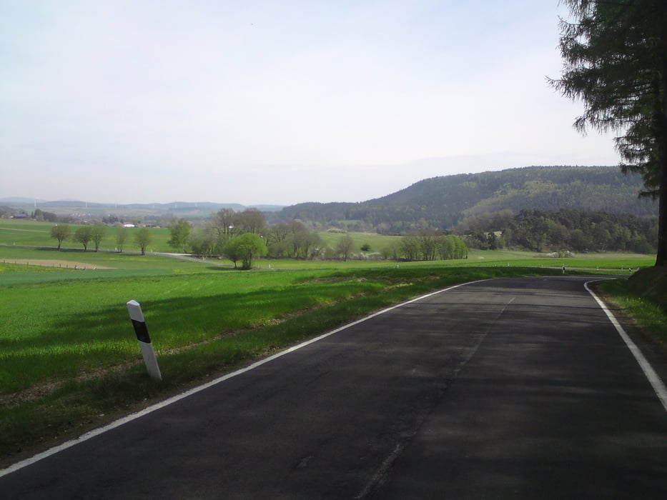
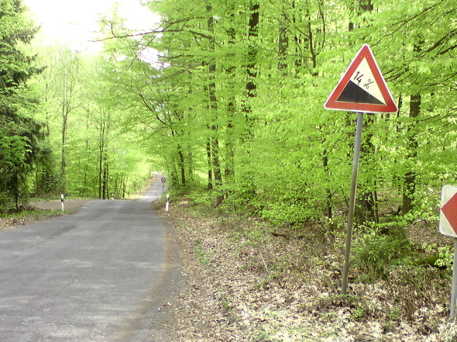
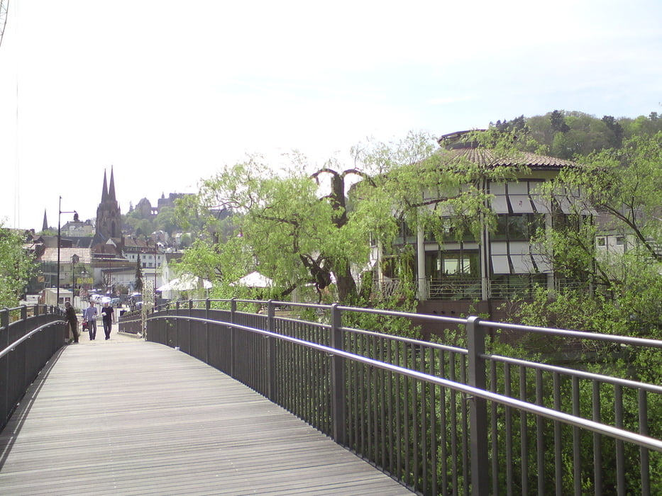
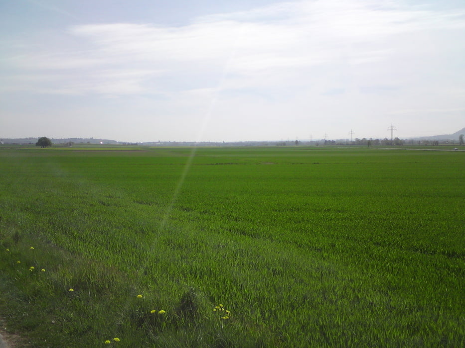
Start der Tour am RadTrail in MR .Es geht ein kleines Stück durch Marburg, bis man auf einen Asphaltierten Radweg kommt. Dieser geht durch Cölbe in Richtung Kirchain. Kurz davor geht es in Anzefahr auf Wirtschaftwegen bis Stausebach. Von hier an weiter in Richtung Himmelsberg wo die erste Steigung auf einen wartet. Oben Angekommen immer weiter bis Rauschenberg und das ganze über kaum befahrene Landstraßen. Von dort ein kleines Stück Bergab bevor es auf den Radweg R6 zurück nach Kirchain geht. Jetzt wieder ein kleines Stück durch Kirchain, bevor es ebenfalls auf Wirtschaftswegen nach Großseelheim über Bauerbach auf die Lahnberge geht. Auf diesem Teilstück ist die höchste und steilste Steigung zu überwinden (bis 14 %). Wer Oben noch Kraft und Lust hat kann noch einen Abstecher auf Spiegelslust unternehmen mit Herrlichen Blick über Marburg. Zum Schluss noch mal 3.5 km Berg ab und man ist wieder da.
Tour gallery
Tour map and elevation profile
Minimum height 183 m
Maximum height 379 m
More about the tour author
|
|
Becks_78 |
Comments

GPS tracks
Trackpoints-
GPX / Garmin Map Source (gpx) download
-
TCX / Garmin Training Center® (tcx) download
-
CRS / Garmin Training Center® (crs) download
-
Google Earth (kml) download
-
G7ToWin (g7t) download
-
TTQV (trk) download
-
Overlay (ovl) download
-
Fugawi (txt) download
-
Kompass (DAV) Track (tk) download
-
Track data sheet (pdf) download
-
Original file of the author (gpx) download
More about the tour author
|
|
Becks_78 |
Add to my favorites
Remove from my favorites
Edit tags
Open track
My score
Rate