Login

Forgot your login?

Cookies have to be accepted!
Your browser's cookie functionality is disabled. Please enable this functionality.

Not a member yet?

Register now
Login

Available for registred users only

Log in to use this feature.

Forgot your login?

Cookies have to be accepted!
Your browser's cookie functionality is disabled. Please enable this functionality.

Not a member yet?

Register now
Filter
Categories
Advanced filters
  • Distance (km)
  • Height
Save filters Reset filter

TrackRank

QRCode

Technical data

Distance11,1 km Height276 m Way down290 m Duration02:20 h:m Date01.05.2010
Scores Author User Landscape Fun factor Fitness Technique

Statistics

3145 Views 1 Score 95 Downloads 4.00 Average
Rate
  • Track data sheet
  • Directions
  • Downloads

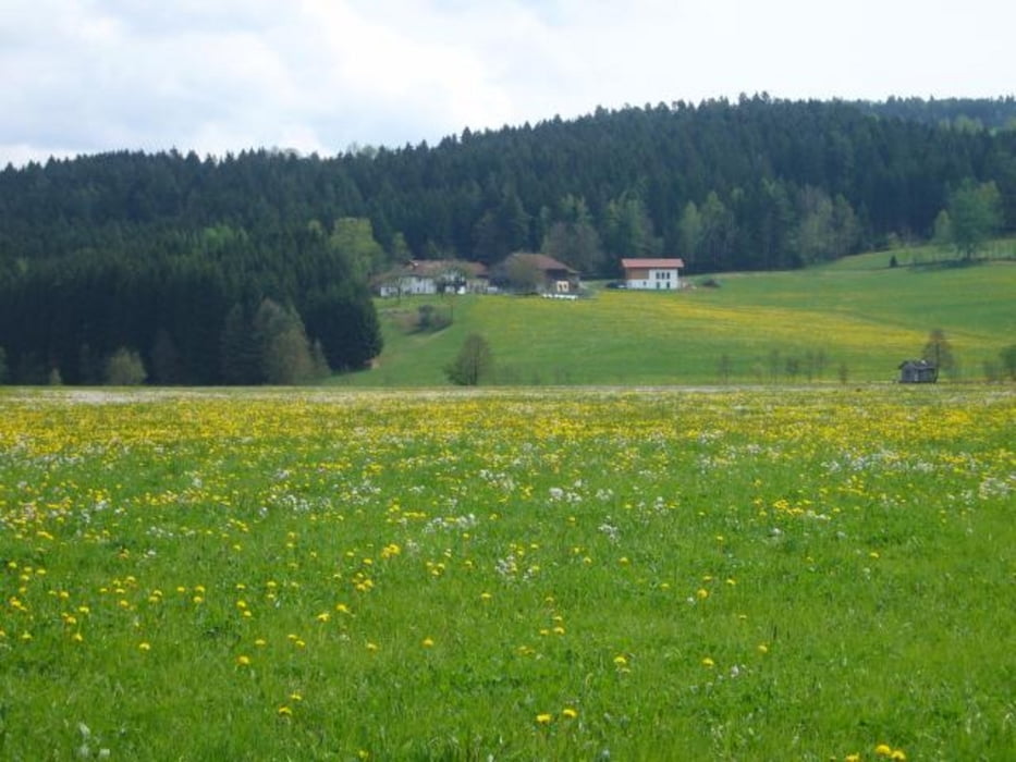
Einfache Wanderung rund um den Blaibacher See. Am Ostufer meist direkt am See entlang.

Further information at

http://www.bayerischer-wald-ferien.de/bilder-bayern-fotos/blaibacher-see.html

Tour gallery

Tour map and elevation profile

  • Open Street Map
  • Google
Minimum height 361 m Maximum height 462 m Detailed view

More about the tour author

grenz-pfad-fahrer
Member since 2009

Send private message

Comments

Startpunkt ist der Parkplatz an der STaumauer des Blaibacher Sees.

GPS tracks

Trackpoints
  • GPX / Garmin Map Source (gpx) download
  • TCX / Garmin Training Center® (tcx) download
  • CRS / Garmin Training Center® (crs) download
  • Google Earth (kml) download
  • G7ToWin (g7t) download
  • TTQV (trk) download
  • Overlay (ovl) download
  • Fugawi (txt) download
  • Kompass (DAV) Track (tk) download
  • Track data sheet (pdf) download
  • Original file of the author (gpx) download

More about the tour author

grenz-pfad-fahrer
Member since 2009

Send private message
Share track
Add to my favorites
Remove from my favorites
Edit tags
My score
Rate
Track: Rund um den Blaibacher See
Type: Hiking
Distance: 11,1 km
Evaluated on:
Duration:
Day(s)
Hour(s)
Minute(s)
Score: Landscape Fun factor Fitness Technique