


Grenoble is surrounded by three mountain ranges: Chartreuse, Vercors and Belledonnes. During this trip we visited lower parts of Chartreuse riding around one of the most intriguing rocks of this range - le Neron.
We set off from the city as usual, heading towards St-Martin-le-Vinoux. We follow the valley between le Neron and la Bastille. We climb a bit till Clemencieres and could descend directly to Quaix-en-Chartreuse, but instead we decide to add 3 km to the trip and visit the Pont de Vence first. The ice-cold stream is easily reachable from the bridge and it is a great place to rest for a while. Expect a minor climb in Quaix-en-Chartreuse and enjoy the picturesque descent on the other side of le Neron. You'll pass by some nice lakes while entering the city.
As the overall trip is rater easy as the climbs are not too long and the total distance is not too extravagant.
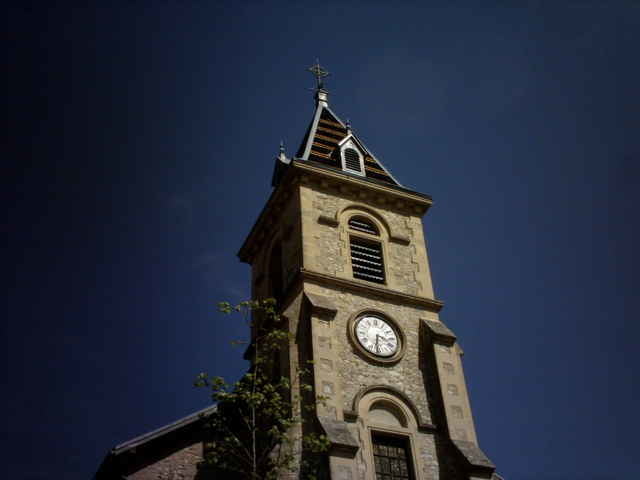
Tour gallery
Tour map and elevation profile
Minimum height 197 m
Maximum height 618 m
More about the tour author

|
azzie |
Comments

In fact you can start anywhere in Greoble ;-) As mentioned earlier, the climb starts in St-Martin-le-Vinoux. You could also follow the route in the opposite direction. That would result in having more balanced climbs instead of one long and two minor ones.
GPS tracks
Trackpoints-
GPX / Garmin Map Source (gpx) download
-
TCX / Garmin Training Center® (tcx) download
-
CRS / Garmin Training Center® (crs) download
-
Google Earth (kml) download
-
G7ToWin (g7t) download
-
TTQV (trk) download
-
Overlay (ovl) download
-
Fugawi (txt) download
-
Kompass (DAV) Track (tk) download
-
Track data sheet (pdf) download
-
Original file of the author (gpx) download
More about the tour author
|
|
azzie |
Add to my favorites
Remove from my favorites
Edit tags
Open track
My score
Rate