


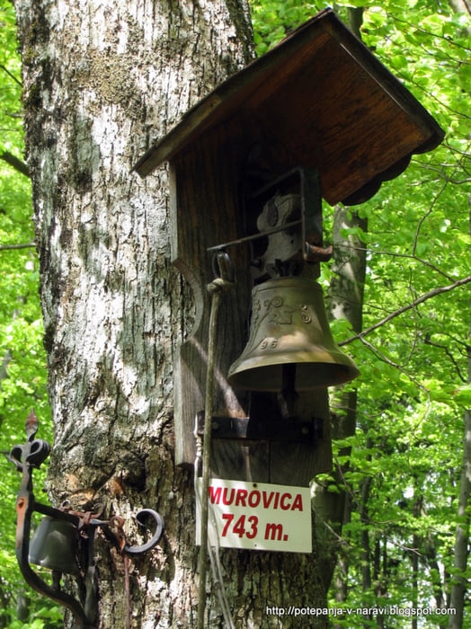
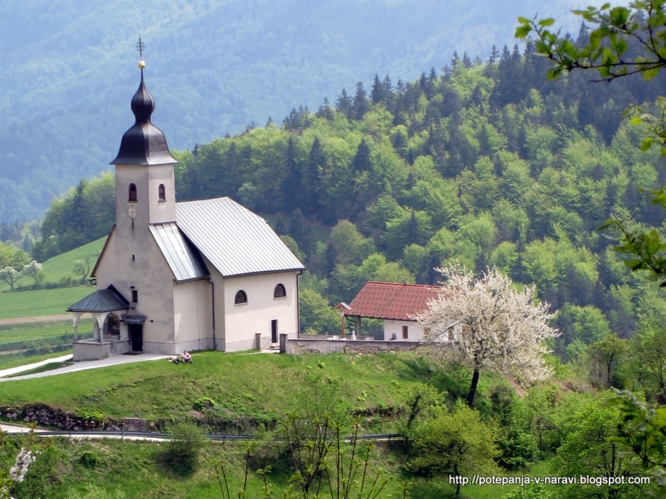
Krožna pot prek grebena nad Senežetmi pri Ljubljani: Križevska vas - Velika vas - Sv. Miklavž - Cicelj - Javoršica - Murovica - Križevska vas.
Further information at
http://potepanja-v-naravi.blogspot.com/2010/05/sv-miklavz-cicelj-murovica.htmlTour gallery
Tour map and elevation profile
Minimum height 534 m
Maximum height 811 m
More about the tour author
|
|
ExAmigan |
Comments

Mimo Dola pri Ljubljani nadaljujemo proti Litiji do krožišča pri Dolskem, kjer zavijemo levo in nato pri prvem odcepu desno proti Križevski vasi. Po ozki cesti se vzpenjamo vse do parkirišča pred cerkvijo Sv. Križa.
GPS tracks
Trackpoints-
GPX / Garmin Map Source (gpx) download
-
TCX / Garmin Training Center® (tcx) download
-
CRS / Garmin Training Center® (crs) download
-
Google Earth (kml) download
-
G7ToWin (g7t) download
-
TTQV (trk) download
-
Overlay (ovl) download
-
Fugawi (txt) download
-
Kompass (DAV) Track (tk) download
-
Track data sheet (pdf) download
-
Original file of the author (gpx) download
More about the tour author
|
|
ExAmigan |
Add to my favorites
Remove from my favorites
Edit tags
Open track
My score
Rate