Login

Forgot your login?

Cookies have to be accepted!
Your browser's cookie functionality is disabled. Please enable this functionality.

Not a member yet?

Register now
Login

Available for registred users only

Log in to use this feature.

Forgot your login?

Cookies have to be accepted!
Your browser's cookie functionality is disabled. Please enable this functionality.

Not a member yet?

Register now
Filter
Categories
Advanced filters
  • Distance (km)
  • Height
Save filters Reset filter

TrackRank

QRCode

Technical data

Distance44,7 km Height1250 m Way down m Duration02:00 h:m Date01.10.2006
Scores Author Landscape Fun factor Fitness Technique

Statistics

1627 Views Scores 200 Downloads Average
Rate
  • Track data sheet
  • Directions
  • Downloads
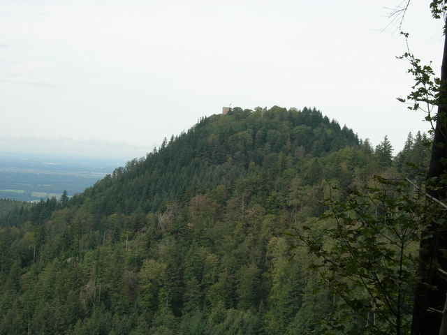
In Neuweier (Rebalnd Baden Baden) starten wir in Richtung Yburg. An der Burg angekommen, steigen wir hoch und genießen die tolle Aussicht. Danach geht es in Richtung Bühlertal und anschließend durch die Weinberge zurück nach Neuweier.

Tour gallery

Tour map and elevation profile

  • Open Street Map
  • Google
Minimum height 176 m Maximum height 517 m Detailed view

More about the tour author

Slayer
Member since 2006

Send private message

Comments

Neuweier ist ein Stadtteil von Baden Baden und liegt im Rebland

GPS tracks

Trackpoints
  • GPX / Garmin Map Source (gpx) download
  • TCX / Garmin Training Center® (tcx) download
  • CRS / Garmin Training Center® (crs) download
  • Google Earth (kml) download
  • G7ToWin (g7t) download
  • TTQV (trk) download
  • Overlay (ovl) download
  • Fugawi (txt) download
  • Kompass (DAV) Track (tk) download
  • Track data sheet (pdf) download
  • Original file of the author (gpx) download

More about the tour author

Slayer
Member since 2006

Send private message
Share track
Add to my favorites
Remove from my favorites
Edit tags
My score
Rate
Track: Yburg (Baden Baden)
Type: Mountain bike
Distance: 44,7 km
Evaluated on:
Duration:
Day(s)
Hour(s)
Minute(s)
Score: Landscape Fun factor Fitness Technique