


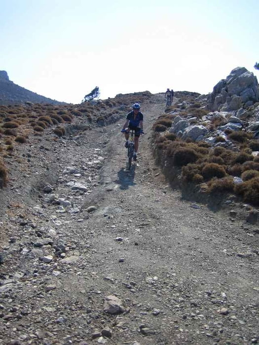
Von Kutsounari geht es über die Küstenstrasse Richtung Iearapetra. Kurz vor dem Ort biegen wir links Richtung Kato Horio ab. Ab dort kämpfen wir uns 12 Kilometer Richting Tripti herauf. Kurz vor Tripti am Fuße des Afendis zweigen wir rechts auf einen Schotterweg ab, der uns nach kurzer Zeit auf den höchsten Punkt der Tour befördert. Von hier aus gibts wieder einen genialen Ausblick über die Region. Danach fahren wir über eine rasant anspruchsvolle Piste herab nach Agios Ioannis und das letze Stück auf Asphalt zum Ausgangspunkt.
Tour gallery
Tour map and elevation profile
Minimum height -2 m
Maximum height 866 m
More about the tour author

|
Comments

Küstenstrasse bis Agios Nikolaos, danach Richtung Ierapetra, von dort östlich Richtung Sitia. Am besten ein schattiger Parkplatz bei Kutsounari.
GPS tracks
Trackpoints-
GPX / Garmin Map Source (gpx) download
-
TCX / Garmin Training Center® (tcx) download
-
CRS / Garmin Training Center® (crs) download
-
Google Earth (kml) download
-
G7ToWin (g7t) download
-
TTQV (trk) download
-
Overlay (ovl) download
-
Fugawi (txt) download
-
Kompass (DAV) Track (tk) download
-
Track data sheet (pdf) download
-
Original file of the author (gpx) download
More about the tour author
|
|
Add to my favorites
Remove from my favorites
Edit tags
Open track
My score
Rate