
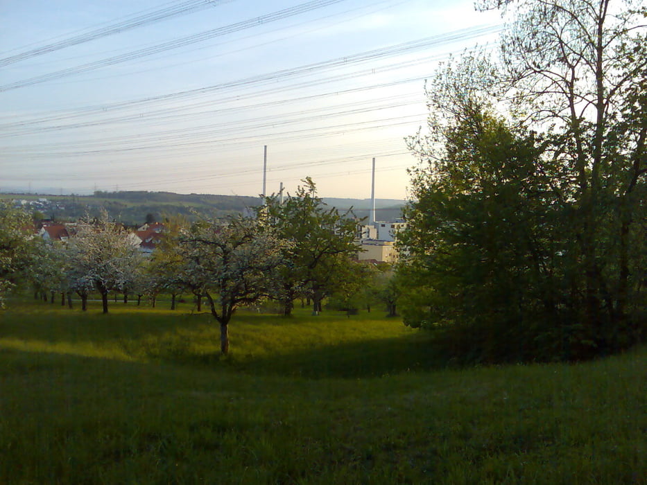

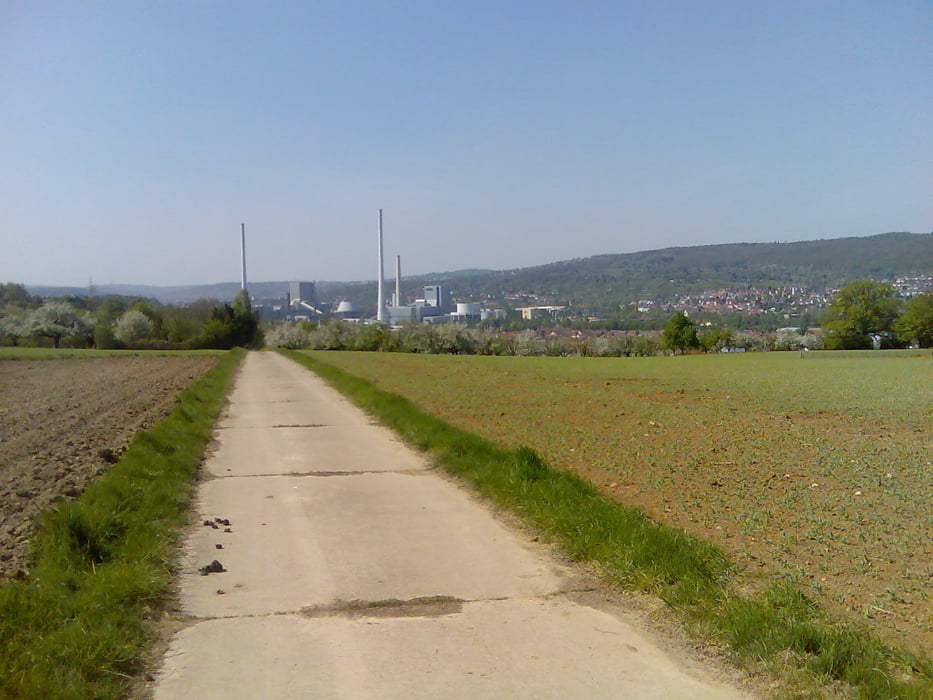
Bin nicht aus der Gegend, darum auch keine großartige Beschreibung, sind ein paar kleine Trails dabei, sonst Feldwege, Waldwege und geteerte Wege wie Radwege und ein wenig Strasse.
Geht halt ein wenig rauf und runter auf ca.60Kilometern, laut meinem Vista HCX warens gegenüber den 1340HM von gps-tour.info nur 1164HM. Das kann auch an meinem Überschlag liegen, aber keine Angst das Stück wo mir das passiert ist habe ich aus dem Track rausgenommen.
Tour gallery
Tour map and elevation profile
Minimum height 202 m
Maximum height 495 m
More about the tour author
|
|
Gexe |
Comments

GPS tracks
Trackpoints-
GPX / Garmin Map Source (gpx) download
-
TCX / Garmin Training Center® (tcx) download
-
CRS / Garmin Training Center® (crs) download
-
Google Earth (kml) download
-
G7ToWin (g7t) download
-
TTQV (trk) download
-
Overlay (ovl) download
-
Fugawi (txt) download
-
Kompass (DAV) Track (tk) download
-
Track data sheet (pdf) download
-
Original file of the author (gpx) download
More about the tour author
|
|
Gexe |
Add to my favorites
Remove from my favorites
Edit tags
Open track
My score
Rate