Login

Forgotten password?

Cookies have to be accepted!
Your browser's cookie functionality is disabled. Please enable this functionality.

Not a member yet?

Register now
Login

Available for registred users only

Log in to use this feature.

Forgotten password?

Cookies have to be accepted!
Your browser's cookie functionality is disabled. Please enable this functionality.

Not a member yet?

Register now
Filter
Categories
Advanced filters
  • Distance (km)
  • Height
Save filters Reset filter

TrackRank

QRCode

Technical data

Distance12,5 km Height0 m Way down0 m Duration03:30 h:m Date02.05.2010
Scores Author Landscape Fun factor Fitness Technique

Statistics

1564 Views Scores 257 Downloads Average
Rate
  • Track data sheet
  • Directions
  • Downloads

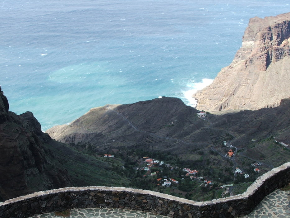
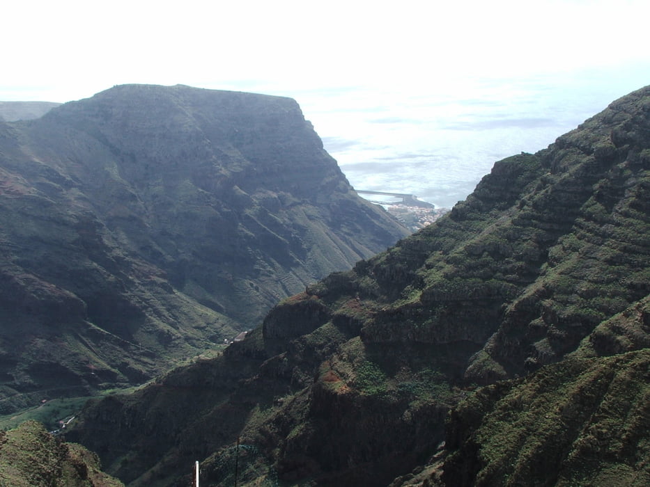
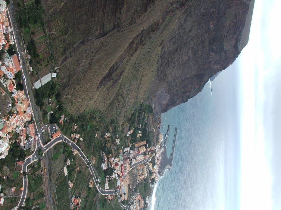
Wegverlauf: Las Hayas - Casas de Acardece - Arure - La Merica - La Calera (Valle Gran Rey)

1.300 Höhenmeter Abstieg

Tour gallery

Tour map and elevation profile

  • Open Street Map
  • Google
Minimum height 99999 m Maximum height -99999 m Detailed view

More about the tour author

lothardomnik
Member since 2009

Send private message

Comments

Las Hayas (Buslinie 1 von San Sebastián und Linie 4)

Vom Endpunkt der Wanderung direkte Busverbindung zum Startpunkt und nach San Sebastián mit Linie 1

GPS tracks

Trackpoints
  • GPX / Garmin Map Source (gpx) download
  • TCX / Garmin Training Center® (tcx) download
  • CRS / Garmin Training Center® (crs) download
  • Google Earth (kml) download
  • G7ToWin (g7t) download
  • TTQV (trk) download
  • Overlay (ovl) download
  • Fugawi (txt) download
  • Kompass (DAV) Track (tk) download
  • Track data sheet (pdf) download
  • Original file of the author (gpx) download

More about the tour author

lothardomnik
Member since 2009

Send private message
Share track
Add to my favorites
Remove from my favorites
Edit tags
My score
Rate
Track: La Gomera: Valle Gran Rey
Type: Mountain hiking
Distance: 12,5 km
Evaluated on:
Duration:
Day(s)
Hour(s)
Minute(s)
Score: Landscape Fun factor Fitness Technique