


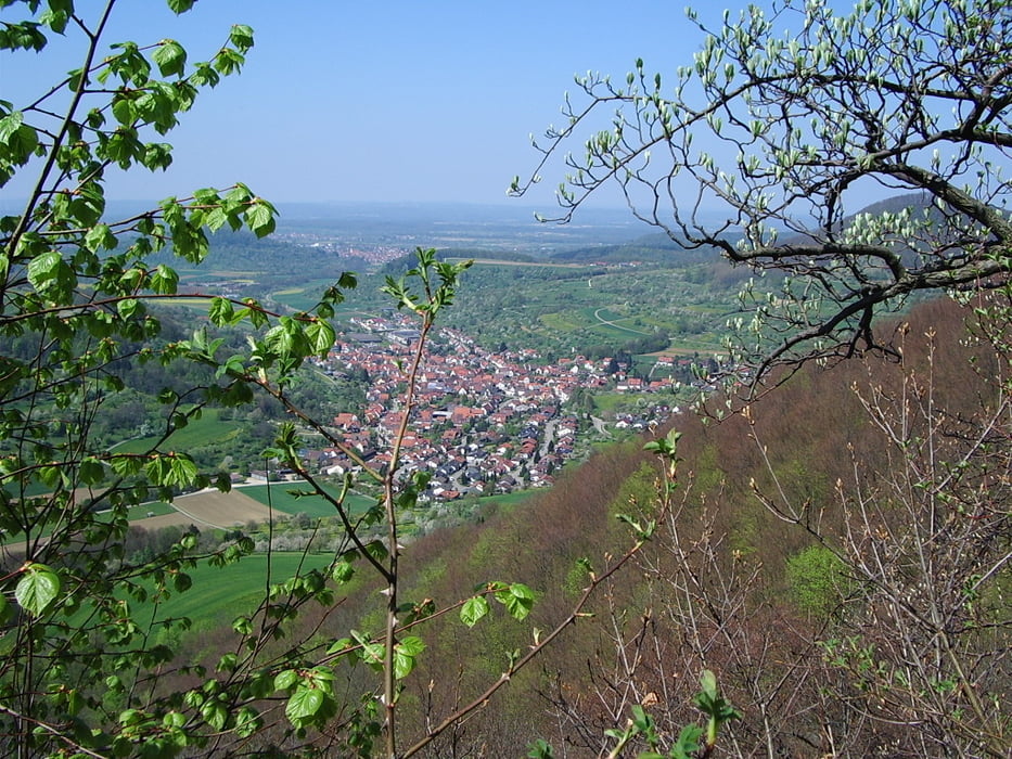
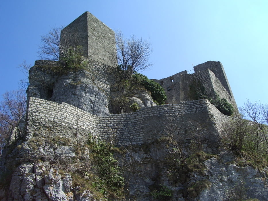
Wir starten in Wiesensteig bei der Schule und gehen parallel zur Straße die Richtung Neidlingen hoch führt, diese queren wir auf halber Höhe und gehen weiter bis zur Albhochfläche. Wir gehen am Eckhof und Ziegelhof vorbei zur Ruine Reußenstein, hier genießen wir den herrlichen Ausblick Richtung Neidlingen und Weilheim. Nun gehen wir weiter über den Parkplatz "Reußenstein" , das Gebiet Feldkopf und weiter bergab zur Papiermühle von hieraus weiter an der jungen Fils entlang zurück zum Ausgangspunkt.
Tour gallery
Tour map and elevation profile
Minimum height 486 m
Maximum height 771 m
More about the tour author
|
|
whasch |
Comments

Wiesensteig bei der Schule (Richtung Filsursprung)
GPS tracks
Trackpoints-
GPX / Garmin Map Source (gpx) download
-
TCX / Garmin Training Center® (tcx) download
-
CRS / Garmin Training Center® (crs) download
-
Google Earth (kml) download
-
G7ToWin (g7t) download
-
TTQV (trk) download
-
Overlay (ovl) download
-
Fugawi (txt) download
-
Kompass (DAV) Track (tk) download
-
Track data sheet (pdf) download
-
Original file of the author (gpx) download
More about the tour author
|
|
whasch |
Add to my favorites
Remove from my favorites
Edit tags
Open track
My score
Rate