
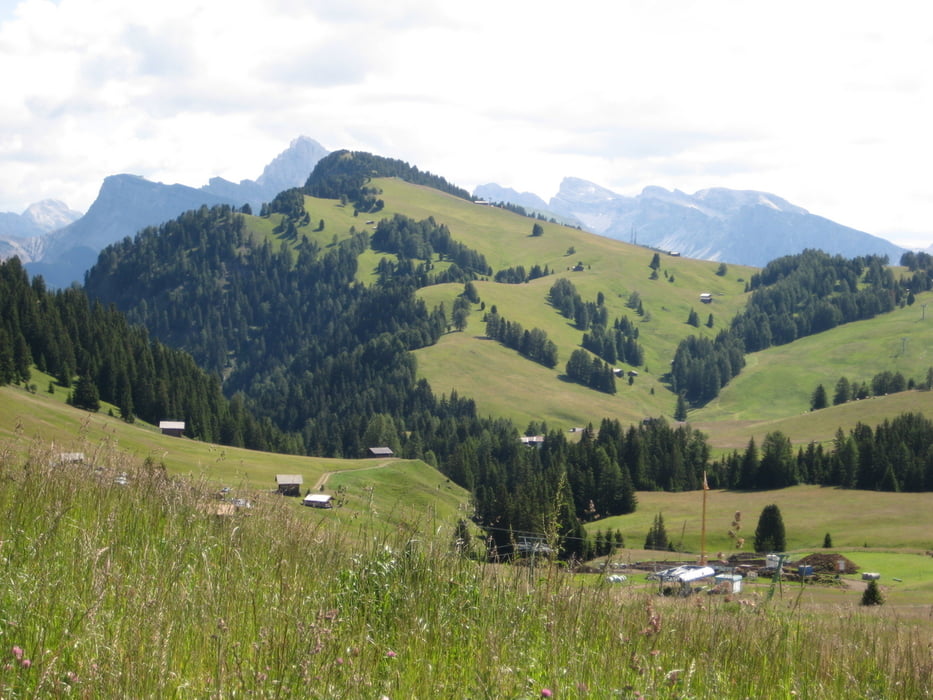

Sehr schöne Tour auf die Seiser Alm.
Startpunkt Seilbahn Seis.
Mit der geht es erst mal auf die Alm, dann
einen sehr schöne Runde auf der Alm und ein super Abfahrt
nach Seis.
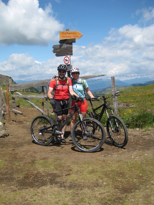
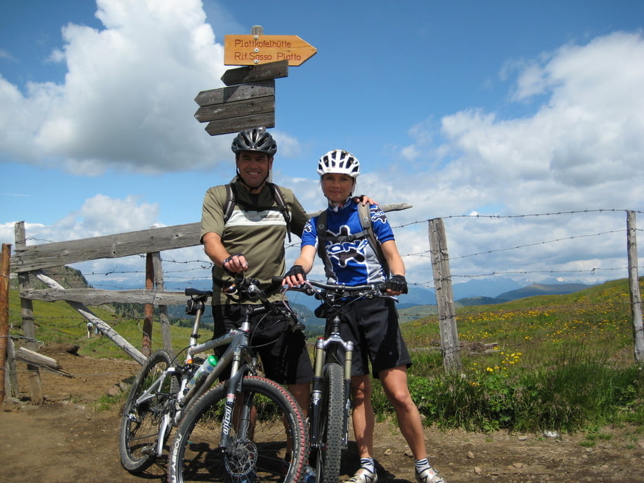
Tour gallery
Tour map and elevation profile
Minimum height 994 m
Maximum height 2326 m
More about the tour author

|
kapitaen55 |
Comments
GPS tracks
Trackpoints-
GPX / Garmin Map Source (gpx) download
-
TCX / Garmin Training Center® (tcx) download
-
CRS / Garmin Training Center® (crs) download
-
Google Earth (kml) download
-
G7ToWin (g7t) download
-
TTQV (trk) download
-
Overlay (ovl) download
-
Fugawi (txt) download
-
Kompass (DAV) Track (tk) download
-
Track data sheet (pdf) download
-
Original file of the author (gpx) download
More about the tour author
|
|
kapitaen55 |
Add to my favorites
Remove from my favorites
Edit tags
Open track
My score
Rate
Interessante Runde??
Alternativ haben wir dann nach 10 Min Schieben umgedreht und sind kurz unterhalb des Passo Duron einen herrlichen schön fahrbaren Weg mit hohen Singletrailanteil zur Zallinger Alm gefahren.
Die Abfahrt am Ende von der Bergstation der Seiser Alm Bahn ist auch teilweise für Bikes gesperrt und auch eher anspruchsvoll.
Bitte bei der Tourbeschreibung klarer erläutern