


Los geht’s wieder an der „ Alten Kapelle“ in Schüller.
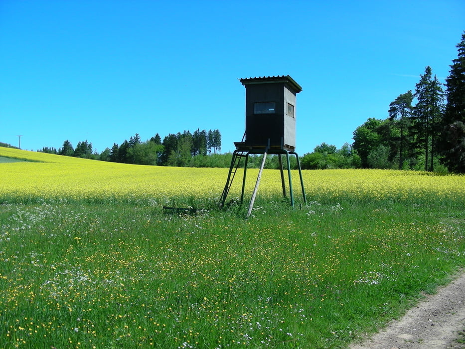
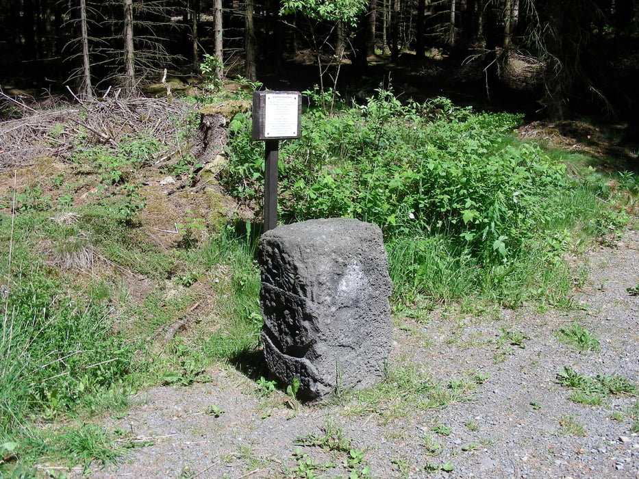
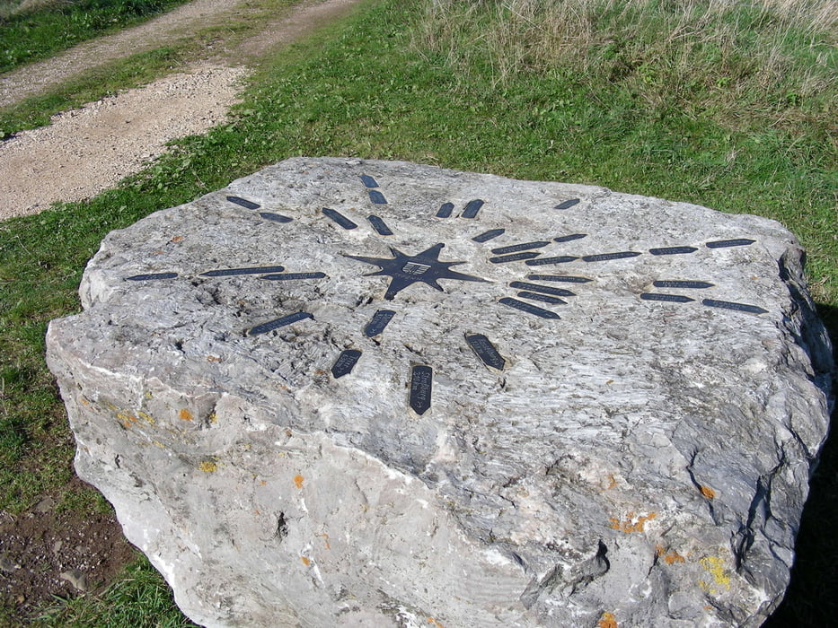
Wir fahren den Bungert runter ins Tal der „Tüschbach“- fahren hoch zum Sportplatz – überqueren die K67 – am Kloster Don Bosco vorbei – Glaadt – sammeln ein paar Höhenmeter und fahren am „Vierherrenstein“ 574 über NN vorbei – Ahrmühle – Ripsdorfer Mühle – Ripsdorf – Lampertsbachtal ( Eifelsteig) – an Mirbach vorbei – überqueren wieder die Landesgrenze von NRW zu Rheinland Pfalz - Gönnersdorf – sieben Wege – Steinbüchel 597über NN (schöne Aussicht zur „hohen Acht“ und Nürburg) – Schüller
Viel Spaß beim Biken
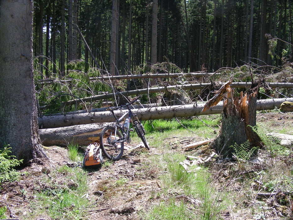
bei km 10,56 Windbruch ! kein Problem, Bike ca. 50 mtr schultern, den alten Wirtschaftsweg kann man noch erkennen.
bin im Juli 2010 nochmal diese Runde gefahren, Windbruch ist beseitigt !!!
Further information at
http://www.eifelsteig.de/Tour gallery
Tour map and elevation profile
Minimum height 409 m
Maximum height 594 m
More about the tour author
|
|
Eisa |
Comments

GPS tracks
Trackpoints-
GPX / Garmin Map Source (gpx) download
-
TCX / Garmin Training Center® (tcx) download
-
CRS / Garmin Training Center® (crs) download
-
Google Earth (kml) download
-
G7ToWin (g7t) download
-
TTQV (trk) download
-
Overlay (ovl) download
-
Fugawi (txt) download
-
Kompass (DAV) Track (tk) download
-
Track data sheet (pdf) download
-
Original file of the author (gpx) download
More about the tour author
|
|
Eisa |
Add to my favorites
Remove from my favorites
Edit tags
Open track
My score
Rate