Login

Forgot your login?

Cookies have to be accepted!
Your browser's cookie functionality is disabled. Please enable this functionality.

Not a member yet?

Register now
Login

Available for registred users only

Log in to use this feature.

Forgot your login?

Cookies have to be accepted!
Your browser's cookie functionality is disabled. Please enable this functionality.

Not a member yet?

Register now
Filter
Categories
Advanced filters
  • Distance (km)
  • Height
Save filters Reset filter

TrackRank

QRCode

Technical data

Distance16,8 km Height355 m Way down348 m Duration01:10 h:m Date09.05.2010
Scores Author User Landscape Fun factor Fitness Technique

Statistics

959 Views 1 Score 43 Downloads 3.00 Average
Rate
  • Track data sheet
  • Directions
  • Downloads
Über die Weinberge zwischen Bensheim und Heppenheim hoch auf den Eselsberg bei Ober-Hambach. Über den Brunnen in Ober-Hambach weiter zur Jägerrast und zurück Richtung Starkenburg nach Heppenheim
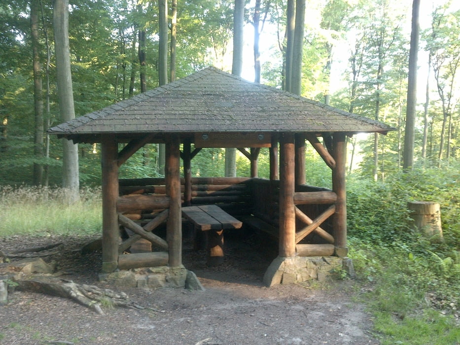
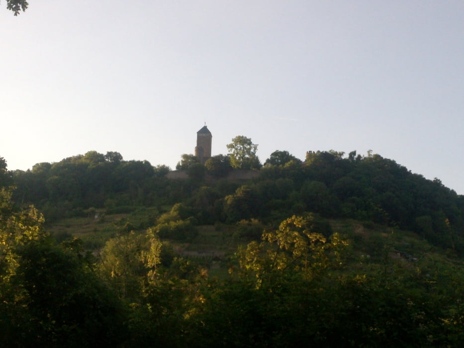
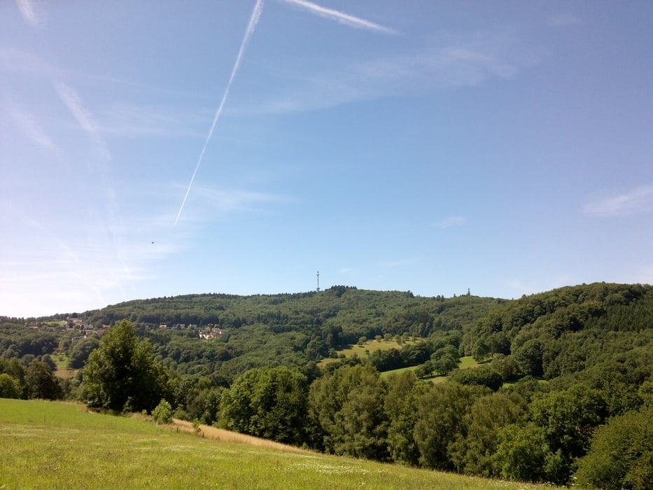
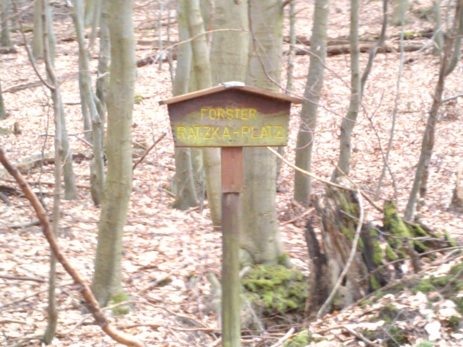
Tour gallery

Tour map and elevation profile

  • Open Street Map
  • Google
Minimum height 98 m Maximum height 427 m Detailed view

More about the tour author

RobKo
Member since 2010

Send private message

Comments

GPS tracks

Trackpoints
  • GPX / Garmin Map Source (gpx) download
  • TCX / Garmin Training Center® (tcx) download
  • CRS / Garmin Training Center® (crs) download
  • Google Earth (kml) download
  • G7ToWin (g7t) download
  • TTQV (trk) download
  • Overlay (ovl) download
  • Fugawi (txt) download
  • Kompass (DAV) Track (tk) download
  • Track data sheet (pdf) download
  • Original file of the author (gpx) download

More about the tour author

RobKo
Member since 2010

Send private message
Share track
Add to my favorites
Remove from my favorites
Edit tags
My score
Rate
Track: Rundtour über Ober-Hambach
Type: Mountain bike
Distance: 16,8 km
Evaluated on:
Duration:
Day(s)
Hour(s)
Minute(s)
Score: Landscape Fun factor Fitness Technique