


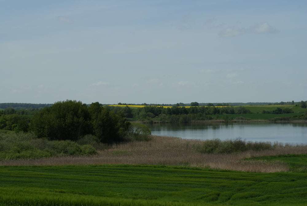
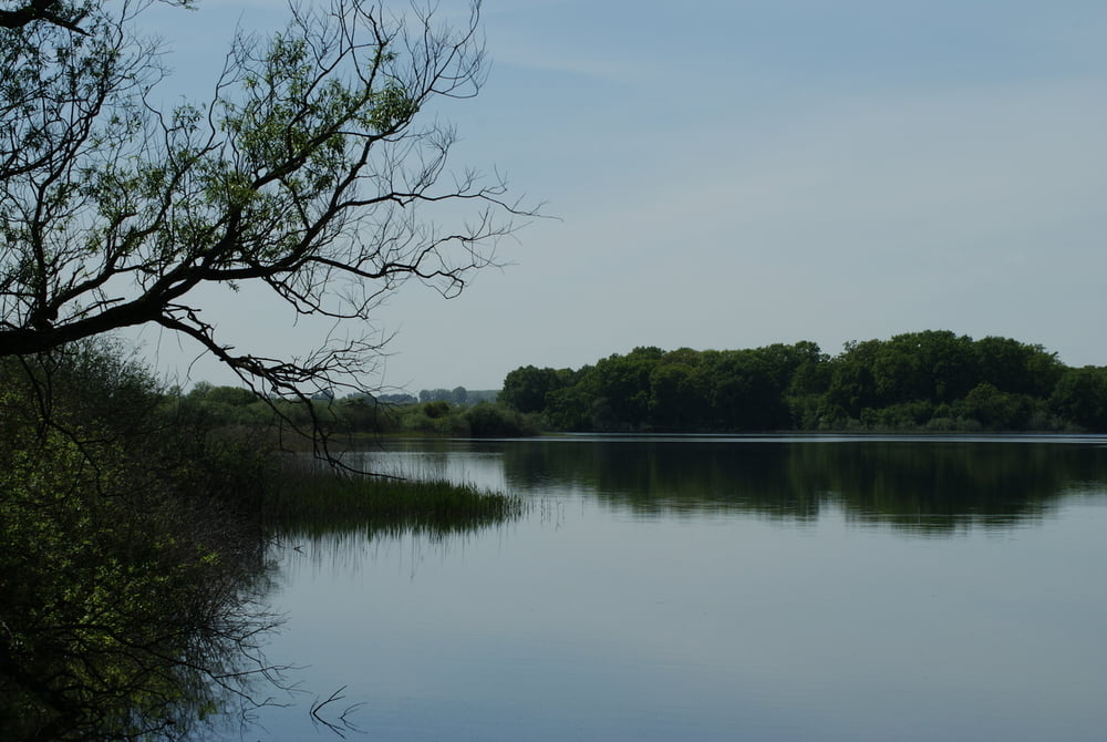
Die Runde fängt in der Ortsmitte von Fürstenwerder an. Von hier aus geht es am Dammsee entlang bis nach Hildebrandshagen. Von hier aus geht es durch den Ort und dann weiter nach Georginenau. Kurz vor Georginenau geht es ab auf einen Feldweg der sich entlang des Sees fast bis nach Fürstenwerder schlängelt. Die letzten 200m geht es dann auf der Landstraße zurück bis zum Ortseingang Fürstenwerder.
Die meiste Zeit läuft man auf guten Feldwegen und teilweise geht es auch übers Feld. Festes Schuhwerk ist also sinnvoll.
Further information at
http://www.fuerstenwerder-seengebiet.de/Tour gallery


Tour map and elevation profile
Minimum height 99999 m
Maximum height -99999 m
More about the tour author
|
|
Zerberster |
Comments

Von Prenzlau, Woldeg oder Feldberg kommend einfach in Richtung Fürstenwerder fahren. Ist überall ausgeschildert.
GPS tracks
Trackpoints-
GPX / Garmin Map Source (gpx) download
-
TCX / Garmin Training Center® (tcx) download
-
CRS / Garmin Training Center® (crs) download
-
Google Earth (kml) download
-
G7ToWin (g7t) download
-
TTQV (trk) download
-
Overlay (ovl) download
-
Fugawi (txt) download
-
Kompass (DAV) Track (tk) download
-
Track data sheet (pdf) download
-
Original file of the author (gpx) download
More about the tour author
|
|
Zerberster |
Add to my favorites
Remove from my favorites
Edit tags
Open track
My score
Rate