


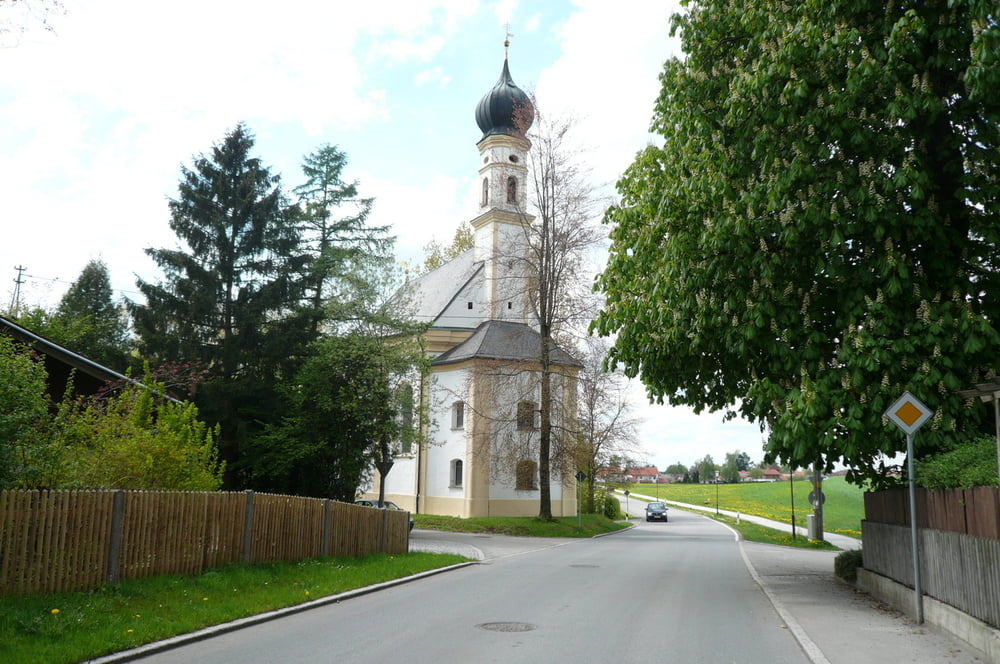
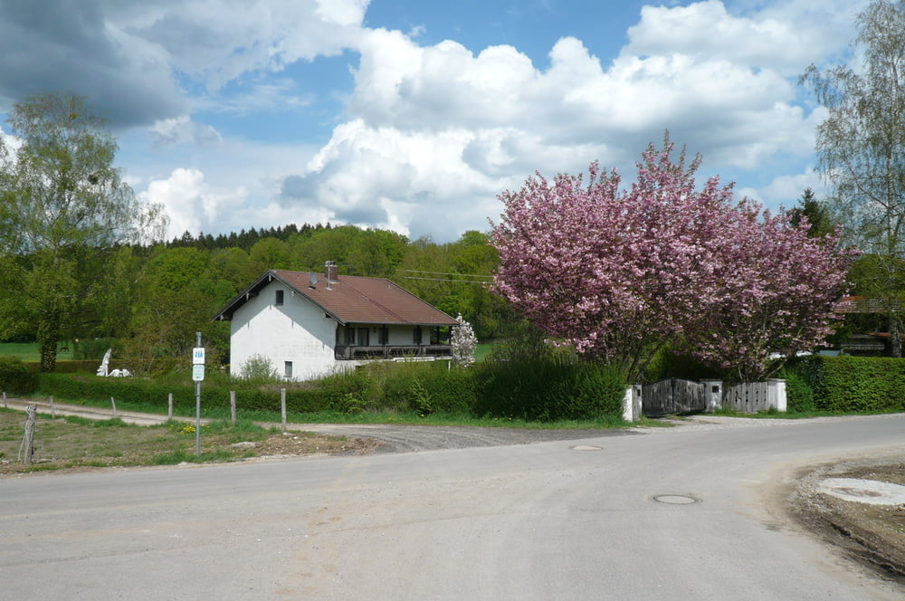
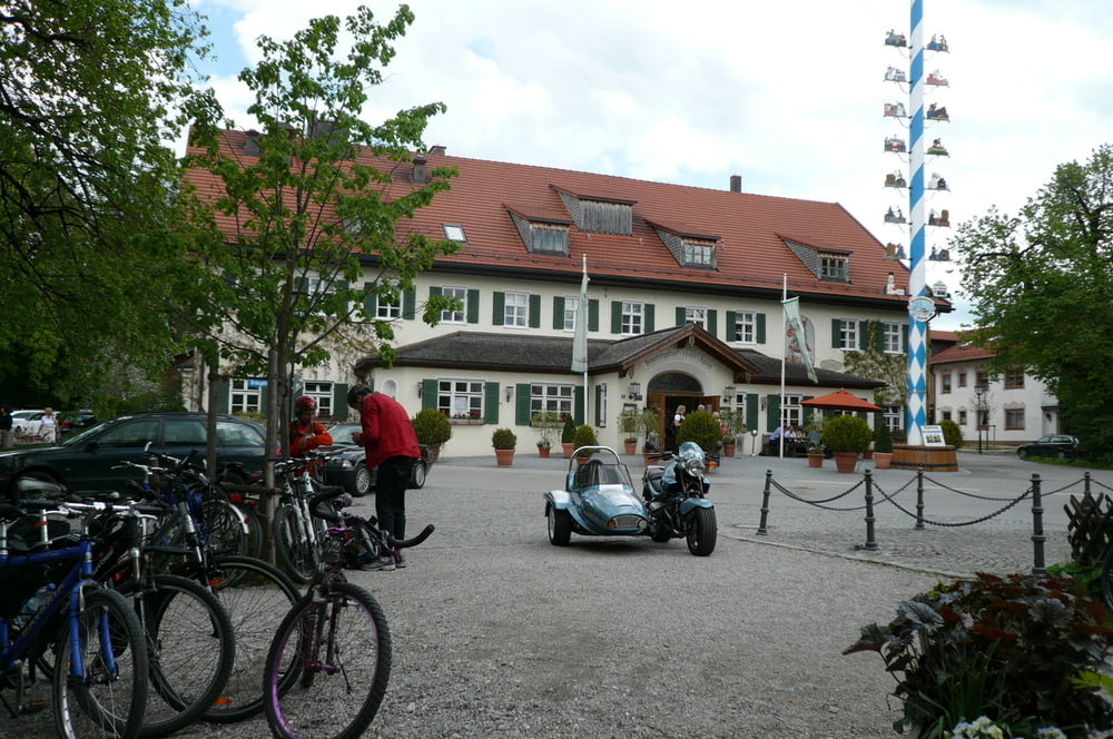
Eine schöne Sonntagsrunde für Inliners. Anfang/Ende der Strecke ist bei der S-Bahn Station Ottobrunn. Die Strecke verläuft durch überwiegend wenig befahrene Strassen. Zwischen Aying und Egmating der Verkehr ist etwas intensiver, die Strasse ist eng und der Asphalt ist nicht besonders gut, also, sehr vorsichtig fahren. Sonst Straßenbelag ist im Durchschnitt in Ordnung. Sehr schöne Biergärten in Kreuzstrasse und in Aying. Steile Abfahrt in Egmating. Der Abschnitt zwischen Egmating und Dürnhaar ist einfach traumhaft, hier kann man richtig Gas geben.
Tour gallery
Tour map and elevation profile
Minimum height 563 m
Maximum height 679 m
More about the tour author
|
|
maklaj |
Comments

GPS tracks
Trackpoints-
GPX / Garmin Map Source (gpx) download
-
TCX / Garmin Training Center® (tcx) download
-
CRS / Garmin Training Center® (crs) download
-
Google Earth (kml) download
-
G7ToWin (g7t) download
-
TTQV (trk) download
-
Overlay (ovl) download
-
Fugawi (txt) download
-
Kompass (DAV) Track (tk) download
-
Track data sheet (pdf) download
-
Original file of the author (gpx) download
More about the tour author
|
|
maklaj |
Add to my favorites
Remove from my favorites
Edit tags
Open track
My score
Rate