
")

Z Malcesine jsme vyjeli na Monte Baldo lanovkou – pozor kola berou jen při některých jízdách, viz dole. Přesné časy si raději ověřte na http://www.funiviedelbaldo.it/
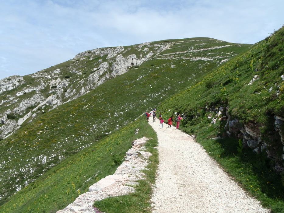
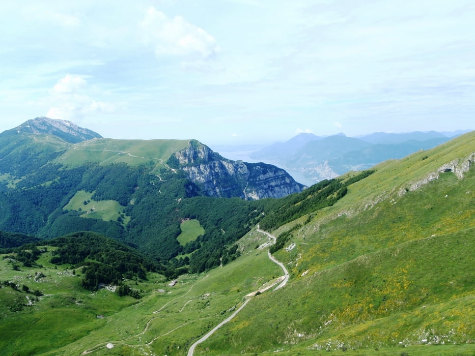
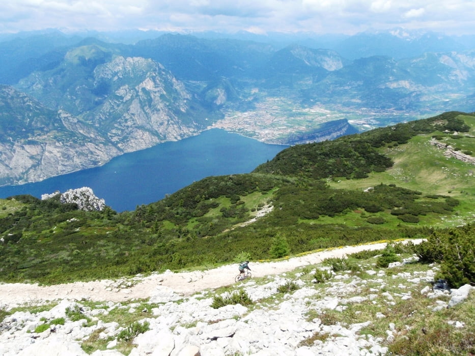
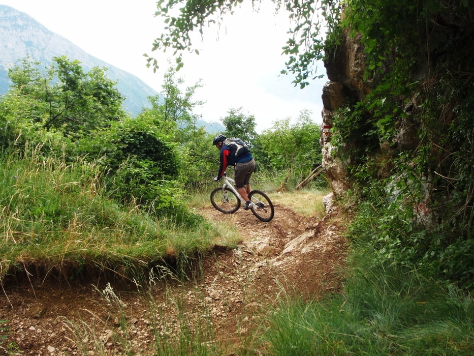
Z Monte Baldo rychlý sjezd po šotolinové cestě (bacha na turisti) a poté asfaltové stoupání do sedla. Od Rifugio Graziani šotolinové serpentiny až na vrchol – hodně pěších turistů. Občerstvení v Rifugio a kochací výhledy. Náročný sjezd k jezeru, tady už turisti nejsou. Ve střední části si můžete vybrat jestli po serpentinové cestě nebo „diretissima“ stezkou. Nepřejeďte nenápadnou neoznačenou odbočku do Malcesine. Následuje nekonečný a kamenitý single-track k hladině jezera.
Suma sumárum 300 m dolů pak nastoupáno 630 metrů a pak už jen sjezd 2000 výškových metrů. Ale bacha, zadarmo to není :-)
We went from Malcesine to Monte Baldo by funicular. Mind the MTB timetable – see below!
From Monte Baldo short rubble downhill and asphalt uphill. Then rubble serpentine uprising from Rifugio Graziani to top. Wonderful views from peak and snack in Rifugio. Challenging downhill run. In the middle you can choose between easy serpentine road or demanding direct path. Do not miss the note-less fork to Malcesine. You will be rewarded with endless stony single-track down to the lake level.
Jízdní řád pro dopravu MTB - denně
TIMETABLE FOR MOUNTAIN BIKES- EVERY DAY
8:15 / 8:45 / 9:15 / 9:45 / 10:15 / 14:15 / 15:15 / 16:15 / 17:15
16 Euro
http://www.funiviedelbaldo.it/
Further information at
http://www.funiviedelbaldo.it/Tour gallery
Tour map and elevation profile
Minimum height 63 m
Maximum height 2074 m
More about the tour author
|
|
Hogofogo |
Comments

GPS tracks
Trackpoints-
GPX / Garmin Map Source (gpx) download
-
TCX / Garmin Training Center® (tcx) download
-
CRS / Garmin Training Center® (crs) download
-
Google Earth (kml) download
-
G7ToWin (g7t) download
-
TTQV (trk) download
-
Overlay (ovl) download
-
Fugawi (txt) download
-
Kompass (DAV) Track (tk) download
-
Track data sheet (pdf) download
-
Original file of the author (gpx) download
More about the tour author
|
|
Hogofogo |
Add to my favorites
Remove from my favorites
Edit tags
Open track
My score
Rate