
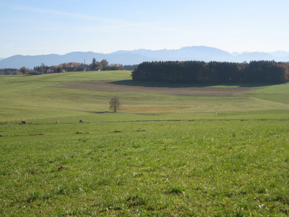

Schöne Genusstour aus dem Würmtal ins Isartal. Fahrtechnisch sehr entspannt.
Durch den Forstenrieder Park mit freilaufenden Wildschweinen gehts an die Isar. Hier fährt man recht kurz steil hinab zur Isar.
Dort dann auf schönen Forstwegen wieder hinauf nach Schäftlarn und auf Teer weiter nach Irschenhausen. Dort gibts im Gasthof "Rittergütl" eine schöne Brotzeit oder Kaffee.
Frisch gestärkt fahren wir über Neufarn, Schorn zurück ins Würmtal.
Tour map and elevation profile
Minimum height 553 m
Maximum height 772 m
More about the tour author
|
|
leichergps |
Comments

GPS tracks
Trackpoints-
GPX / Garmin Map Source (gpx) download
-
TCX / Garmin Training Center® (tcx) download
-
CRS / Garmin Training Center® (crs) download
-
Google Earth (kml) download
-
G7ToWin (g7t) download
-
TTQV (trk) download
-
Overlay (ovl) download
-
Fugawi (txt) download
-
Kompass (DAV) Track (tk) download
-
Track data sheet (pdf) download
-
Original file of the author (gpx) download
More about the tour author
|
|
leichergps |
Add to my favorites
Remove from my favorites
Edit tags
Open track
My score
Rate