Login

Forgot your login?

Cookies have to be accepted!
Your browser's cookie functionality is disabled. Please enable this functionality.

Not a member yet?

Register now
Login

Available for registred users only

Log in to use this feature.

Forgot your login?

Cookies have to be accepted!
Your browser's cookie functionality is disabled. Please enable this functionality.

Not a member yet?

Register now
Filter
Categories
Advanced filters
  • Distance (km)
  • Height
Save filters Reset filter

TrackRank

QRCode

Technical data

Distance52,8 km Height0 m Way down0 m Duration1 day 0 h Date11.05.2010
Scores Author Landscape Fun factor Fitness Technique

Statistics

1418 Views Scores 251 Downloads Average
Rate
  • Track data sheet
  • Directions
  • Downloads

Extrem Singletraillastige (Tor)tour.

Wird die Tage drauf schwer das Grinsen aus dem Gesicht zu Zaubern!
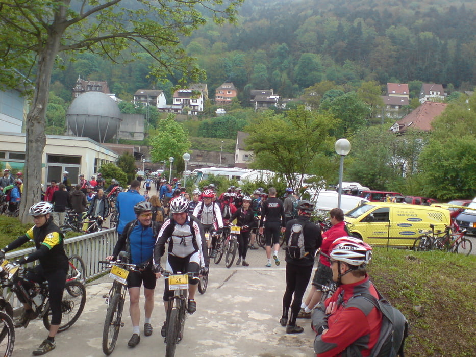
 

Tour gallery

Tour map and elevation profile

  • Open Street Map
  • Google
Minimum height 99999 m Maximum height -99999 m Detailed view

More about the tour author

dib

Comments

Mit dem Zug direkt zum Bahnhof Lambrecht oder halt mit dem Auto.

GPS tracks

Trackpoints
  • GPX / Garmin Map Source (gpx) download
  • TCX / Garmin Training Center® (tcx) download
  • CRS / Garmin Training Center® (crs) download
  • Google Earth (kml) download
  • G7ToWin (g7t) download
  • TTQV (trk) download
  • Overlay (ovl) download
  • Fugawi (txt) download
  • Kompass (DAV) Track (tk) download
  • Track data sheet (pdf) download
  • Original file of the author (gpx) download

More about the tour author

dib

Share track
Add to my favorites
Remove from my favorites
Edit tags
My score
Rate
Track: Gäsbock Marathon kurzstrecke
Type: Mountain bike
Distance: 52,8 km
Evaluated on:
Duration:
Day(s)
Hour(s)
Minute(s)
Score: Landscape Fun factor Fitness Technique