


Die Beschreibung des "Blauburger Radweges"
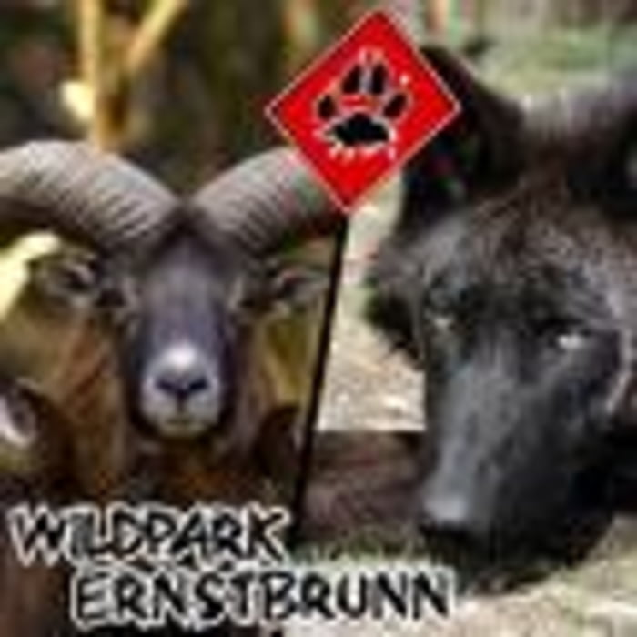
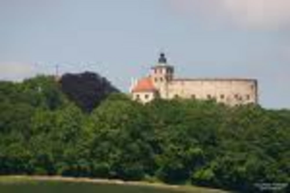
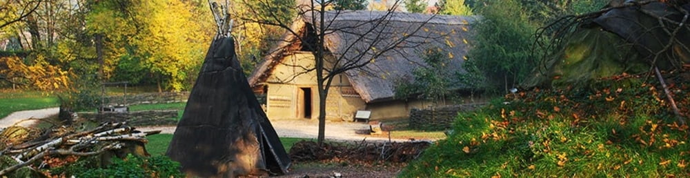
Man startet in Ernstbrunn, radelt vorbei an dem Schloss und Wildpark Ernstbrunn durch die reizvolle Landschaft des Naturparks Leiser Berge. Auf dem Weg lohnt ein Abstecher zum NÖ Schulmuseum in Michelstetten oder man erlebt im Freilichtbereich des Schlosses von Asparn Urgeschichte hautnah! Vorbei gehts an Mistelbach und an der "Kulturlandschaft Passdorf". Dann wieder zurück nach Ernstbrunn.
Ich habe die Tour zwei mal hintereinander abgefahren. Je nach Tempo und Wind kann auch diese grundsätzlich leichte Tour auch so mal ziemlich anstrengend sein.
Further information at
http://www.fahr-radwege.com/Blauburger.htmTour gallery
Tour map and elevation profile
Minimum height 198 m
Maximum height 447 m
More about the tour author
|
|
LeiseRadler |
Comments

GPS tracks
Trackpoints-
GPX / Garmin Map Source (gpx) download
-
TCX / Garmin Training Center® (tcx) download
-
CRS / Garmin Training Center® (crs) download
-
Google Earth (kml) download
-
G7ToWin (g7t) download
-
TTQV (trk) download
-
Overlay (ovl) download
-
Fugawi (txt) download
-
Kompass (DAV) Track (tk) download
-
Track data sheet (pdf) download
-
Original file of the author (gpx) download
More about the tour author
|
|
LeiseRadler |
Add to my favorites
Remove from my favorites
Edit tags
Open track
My score
Rate