


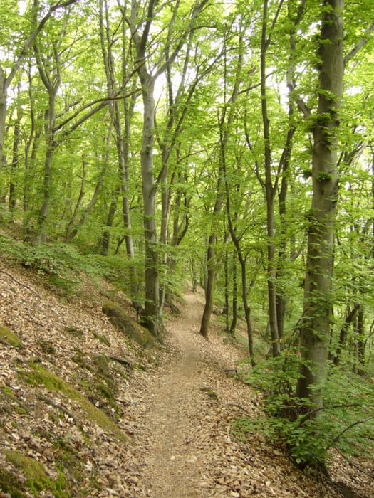
Gyalogtúra Budapest határán.
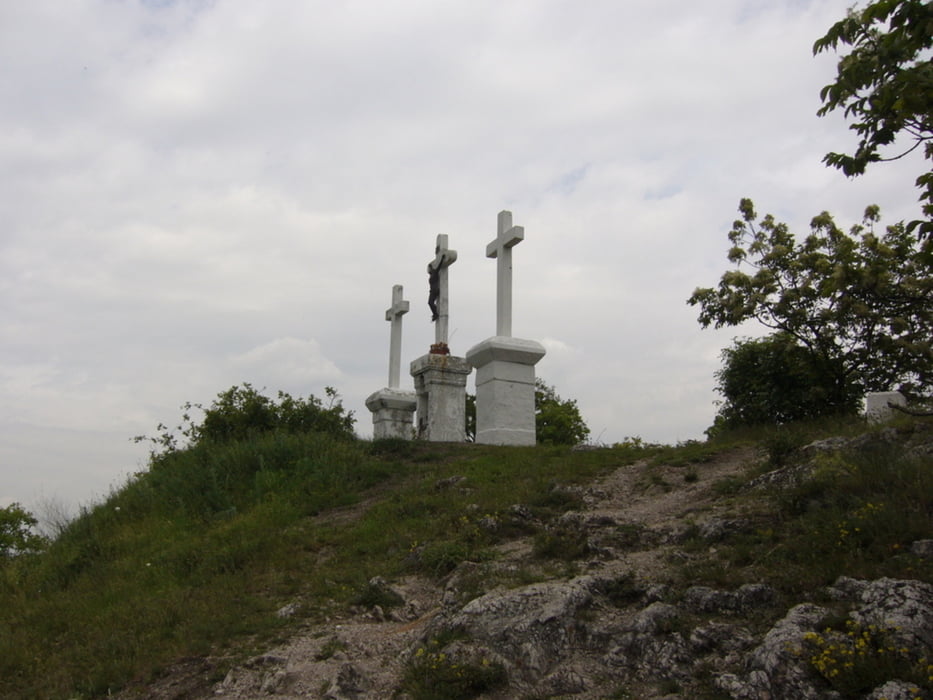
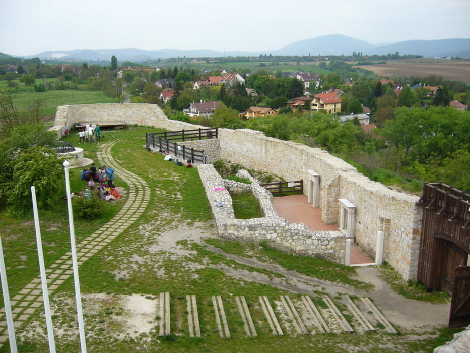
A kezdeti kaptató végén felérünk a Hármashatár-hegyre. Innen a siklóernyősök starthelyét érintve érünk le a Virágos-nyeregbe. Elhaladunk a Csúcs-hegy, majd a Tök-hegy oldalában. A Kötők padja és egy kilátóhely után a Kálvária-hegyet másszuk meg. Ettől kezdve lefelé vezet utunk az Alsó-Jegenye-völgybe. Solymáron megtekinthető a felújítás alatt lévő Szarkavár.
Further information at
http://picasaweb.google.com/endre.fekete/HarmashatarHegySolymar?feat=directlinkTour gallery

Tour map and elevation profile
Minimum height 146 m
Maximum height 482 m
More about the tour author
|
|
andrew85 |
Comments

A túra kiinduló pontját a 137-es BKV busszal érhetjük el.
Hazafelé a Solymárról induló vonatot ajánlom.
GPS tracks
Trackpoints-
GPX / Garmin Map Source (gpx) download
-
TCX / Garmin Training Center® (tcx) download
-
CRS / Garmin Training Center® (crs) download
-
Google Earth (kml) download
-
G7ToWin (g7t) download
-
TTQV (trk) download
-
Overlay (ovl) download
-
Fugawi (txt) download
-
Kompass (DAV) Track (tk) download
-
Track data sheet (pdf) download
-
Original file of the author (gpx) download
More about the tour author
|
|
andrew85 |
Add to my favorites
Remove from my favorites
Edit tags
Open track
My score
Rate