


Start war Handschuhsheim Tiefburg
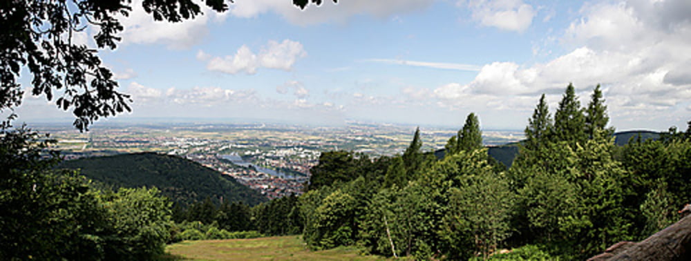
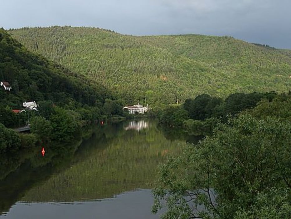
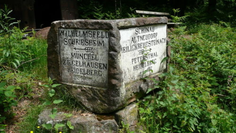
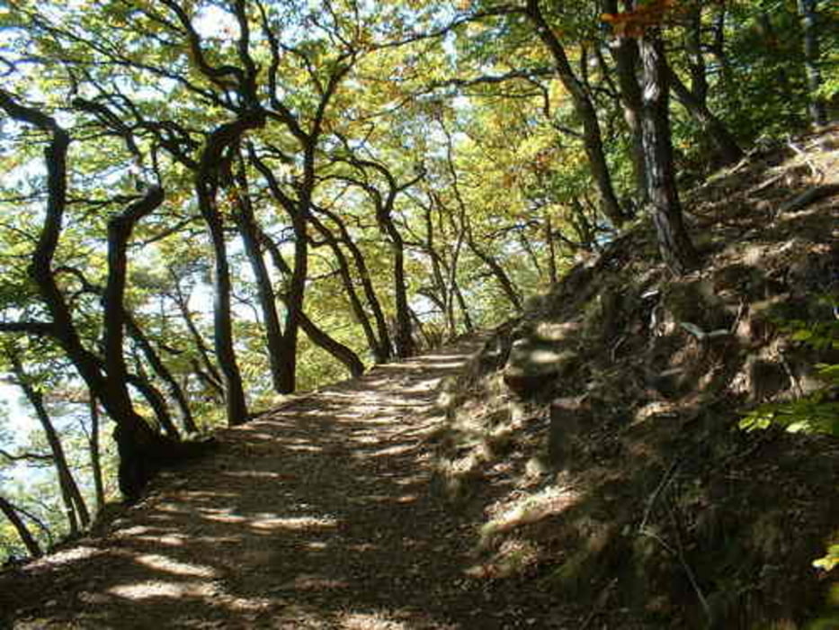
Anfahrt über die Gaisbergstrasse> Steigerweg in single-trail zum Speyerer Hof, dort über Waldwege zum Königstuhl> über Singletrails und Waldwege zum Kohlhof Richtung Waldhilsbach> Abfahrt auf Waldwegen nach Schlierbach> über die Brücke und den Schönauer Weg über den Münchelpass zum Langen Kirschbaum> weiter zum Weissen Stein> Über single-trails Abfahrt
zur Karlshütte> weiter zum Stift Neuburg (schöne Gelegenheit zum Einkehren). Dort wieder hoch Richtung Philosophenweg, den oberen Eselspfad bis zur Moltkehütte> Philosophenweg bis Abzweig Hirschgasse> dort rechts auf trail und auf den oberen Philosophenweg wechseln> bei der Bismarksäule Richtung Handschuhsheim > bei der Mönchberghütte kleinen trail links rein und Abfahrt über Hainsbachweg nach Handschuhsheim.
Schöne MIschung aus Waldwegen und trails.
Tour gallery
Tour map and elevation profile
Minimum height 117 m
Maximum height 577 m
More about the tour author
|
|
wernermohr |
Comments

GPS tracks
Trackpoints-
GPX / Garmin Map Source (gpx) download
-
TCX / Garmin Training Center® (tcx) download
-
CRS / Garmin Training Center® (crs) download
-
Google Earth (kml) download
-
G7ToWin (g7t) download
-
TTQV (trk) download
-
Overlay (ovl) download
-
Fugawi (txt) download
-
Kompass (DAV) Track (tk) download
-
Track data sheet (pdf) download
-
Original file of the author (gpx) download
More about the tour author
|
|
wernermohr |
Add to my favorites
Remove from my favorites
Edit tags
Open track
My score
Rate