


Schöne Trainingsrunde im hügeligen Alpenvorland. Start in Unterammergau; die Route verläuft über Scherenau, Altenau, Unternogg, Wieskirche, Bad Bayersoien, Saulgrub, Achele Kammerl, Altenau wieder zurück nach Unterammergau. Forststraßen wechseln mit kleineren Asphaltwegen und kleinen Straßen. Ein kurzes Stück muss man auch auf der B23 fahren, aber die Umgehung dessen ist in Arbeit.
Die Strecke ist nicht komplett flach, sondern enthält viele kleine Steigungen, die sie zu einem guten Intervalltraining machen. Durch den großen Anteil von Forststraßen und Asphaltwegen kann man so richtig mit Geschwindigkeit durch die Landschaft bolzen.
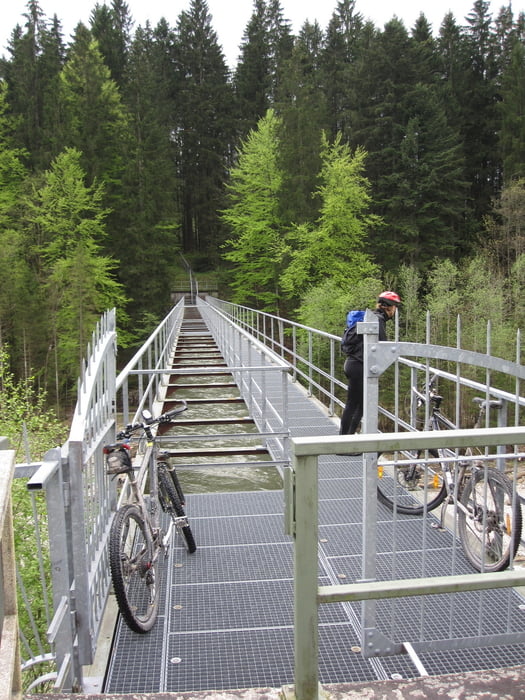
Tour gallery
Tour map and elevation profile
Minimum height 753 m
Maximum height 938 m
More about the tour author
|
|
typhoon2 |
Comments

Von der B23 nach Unterammregau. Im Dorf parken und dann durch die Pfarrgasse zum westlichen Ortsrand und zum Beginn der Tour.
GPS tracks
Trackpoints-
GPX / Garmin Map Source (gpx) download
-
TCX / Garmin Training Center® (tcx) download
-
CRS / Garmin Training Center® (crs) download
-
Google Earth (kml) download
-
G7ToWin (g7t) download
-
TTQV (trk) download
-
Overlay (ovl) download
-
Fugawi (txt) download
-
Kompass (DAV) Track (tk) download
-
Track data sheet (pdf) download
-
Original file of the author (gpx) download
More about the tour author
|
|
typhoon2 |
Add to my favorites
Remove from my favorites
Edit tags
Open track
My score
Rate