Login

Forgot your login?

Cookies have to be accepted!
Your browser's cookie functionality is disabled. Please enable this functionality.

Not a member yet?

Register now
Login

Available for registred users only

Log in to use this feature.

Forgot your login?

Cookies have to be accepted!
Your browser's cookie functionality is disabled. Please enable this functionality.

Not a member yet?

Register now
Filter
Categories
Advanced filters
  • Distance (km)
  • Height
Save filters Reset filter

TrackRank

QRCode

Technical data

Distance7,0 km Height145 m Way down148 m Duration00:00 h:m Date20.05.2010
Scores Author Landscape Fun factor Fitness Technique

Statistics

547 Views Scores 102 Downloads Average
Rate
  • Track data sheet
  • Directions
  • Downloads

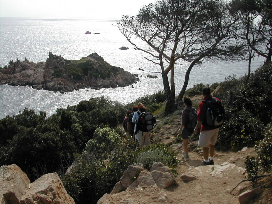
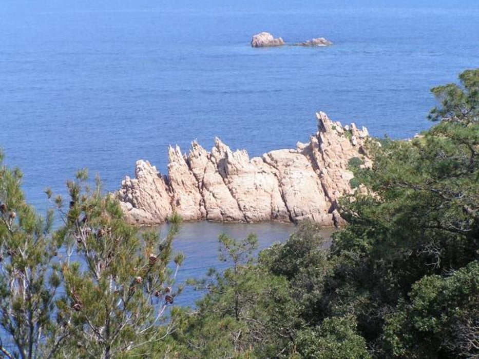
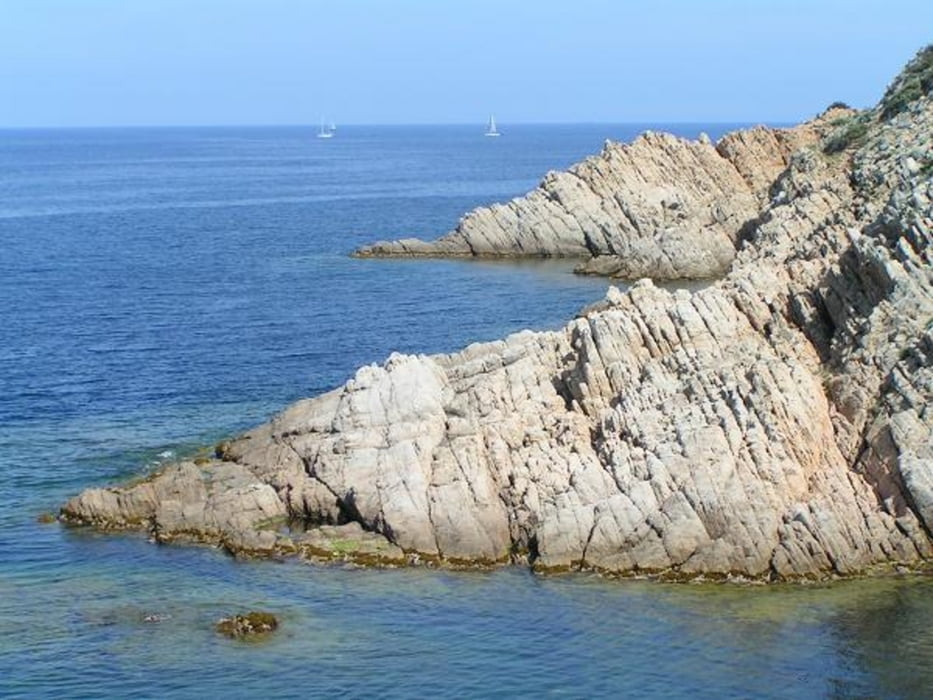
Schöne Rundtour um das Cap Camaret. Teiweise etwas ausgesetzt. Man gelangt nur durch die Residenz Camaret ans Meer.Daneben liegt ein militärisches Sperrgebiet.

Tour gallery

Tour map and elevation profile

  • Open Street Map
  • Google
Minimum height Maximum height 110 m Detailed view

More about the tour author

Speroinvidiam
Member since 2009

Send private message

Comments

GPS tracks

Trackpoints
  • GPX / Garmin Map Source (gpx) download
  • TCX / Garmin Training Center® (tcx) download
  • CRS / Garmin Training Center® (crs) download
  • Google Earth (kml) download
  • G7ToWin (g7t) download
  • TTQV (trk) download
  • Overlay (ovl) download
  • Fugawi (txt) download
  • Kompass (DAV) Track (tk) download
  • Track data sheet (pdf) download
  • Original file of the author (gpx) download

More about the tour author

Speroinvidiam
Member since 2009

Send private message
Share track
Add to my favorites
Remove from my favorites
Edit tags
My score
Rate
Track: Cap Camarat
Type: Hiking
Distance: 7,0 km
Evaluated on:
Duration:
Day(s)
Hour(s)
Minute(s)
Score: Landscape Fun factor Fitness Technique