


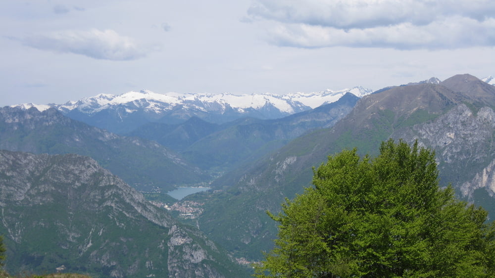
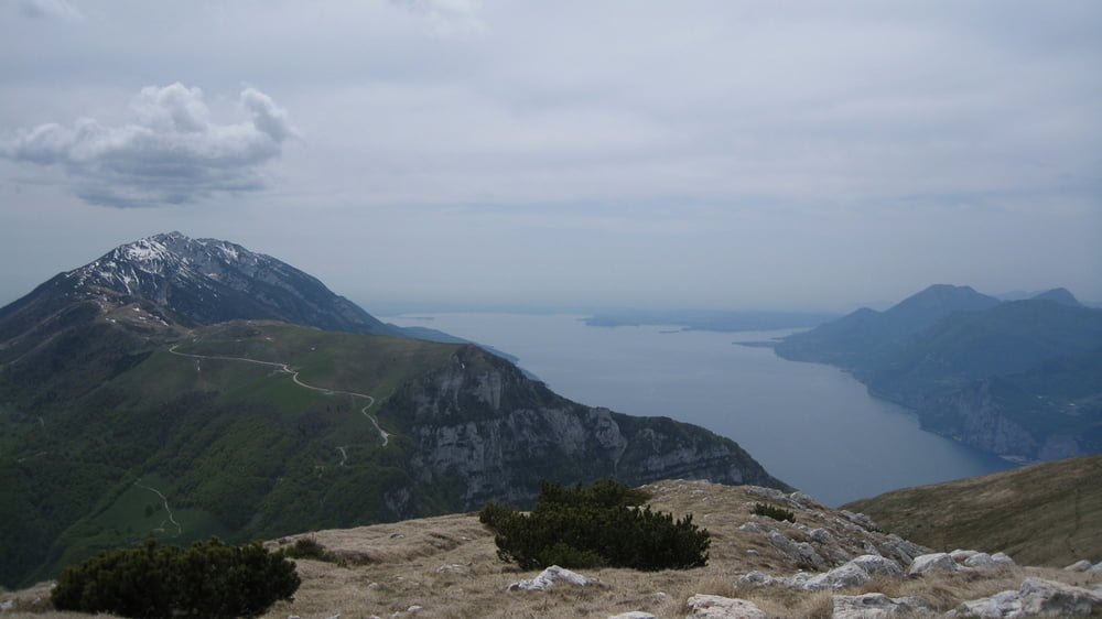
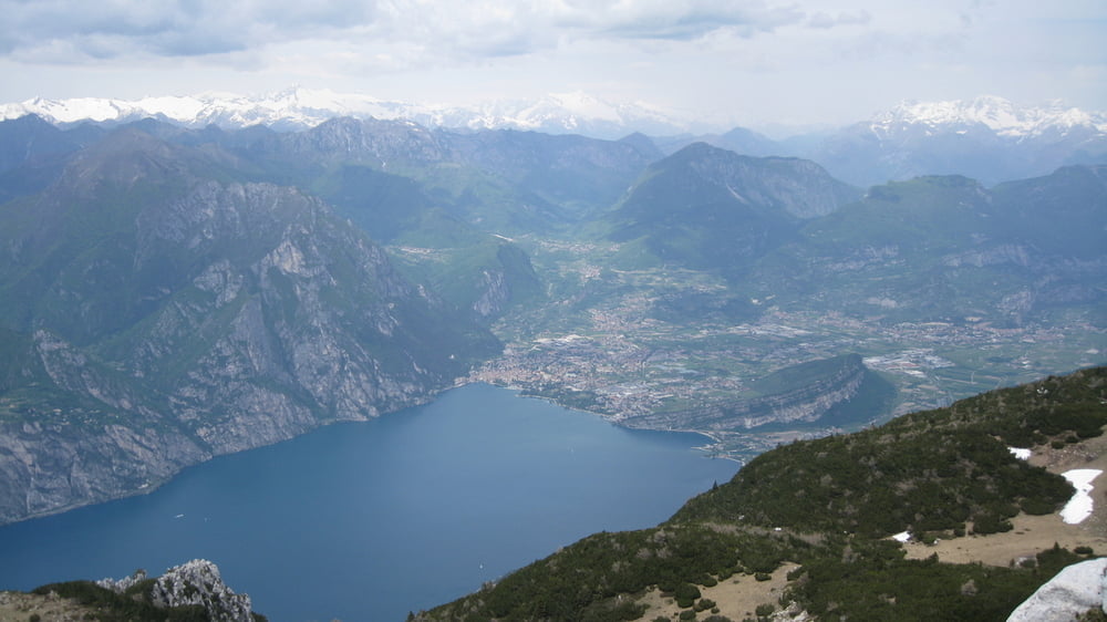
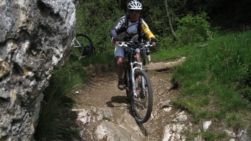
Eine der schwersten und reitzvollsten Touren am Gardasee !
Sehr lange Bergfahrt auf Asphalt zum Monte Varanga. Ein Militärweg vom 1 Weltkrieg führt um den Gipfel bis zur Bocca del Creer.Am Anfang sehr steil geht die Militärstraße vom Rifugio Graziani zum Rifugio Altissimo, weiter bei einen schweren Downhill ( 20min schieben ) am Sentiero 601 zum Monte Varanga.Nach 650 hm Abfahrt auf der Asphaltstraße geht links der für mich schönste Trail am Gardasee der Sentiero 6 Richtung Navene zu Ende.Rückfahrt entweder mit dem Schiff oder so wie ich auf der Hauptstraße mit einen unguten Gefühl durch die Tunnels nach Torbole.
Tour gallery
Tour map and elevation profile
Minimum height 83 m
Maximum height 2056 m
More about the tour author
|
|
rudolfo |
Comments

GPS tracks
Trackpoints-
GPX / Garmin Map Source (gpx) download
-
TCX / Garmin Training Center® (tcx) download
-
CRS / Garmin Training Center® (crs) download
-
Google Earth (kml) download
-
G7ToWin (g7t) download
-
TTQV (trk) download
-
Overlay (ovl) download
-
Fugawi (txt) download
-
Kompass (DAV) Track (tk) download
-
Track data sheet (pdf) download
-
Original file of the author (gpx) download
More about the tour author
|
|
rudolfo |
Add to my favorites
Remove from my favorites
Edit tags
Open track
My score
Rate