


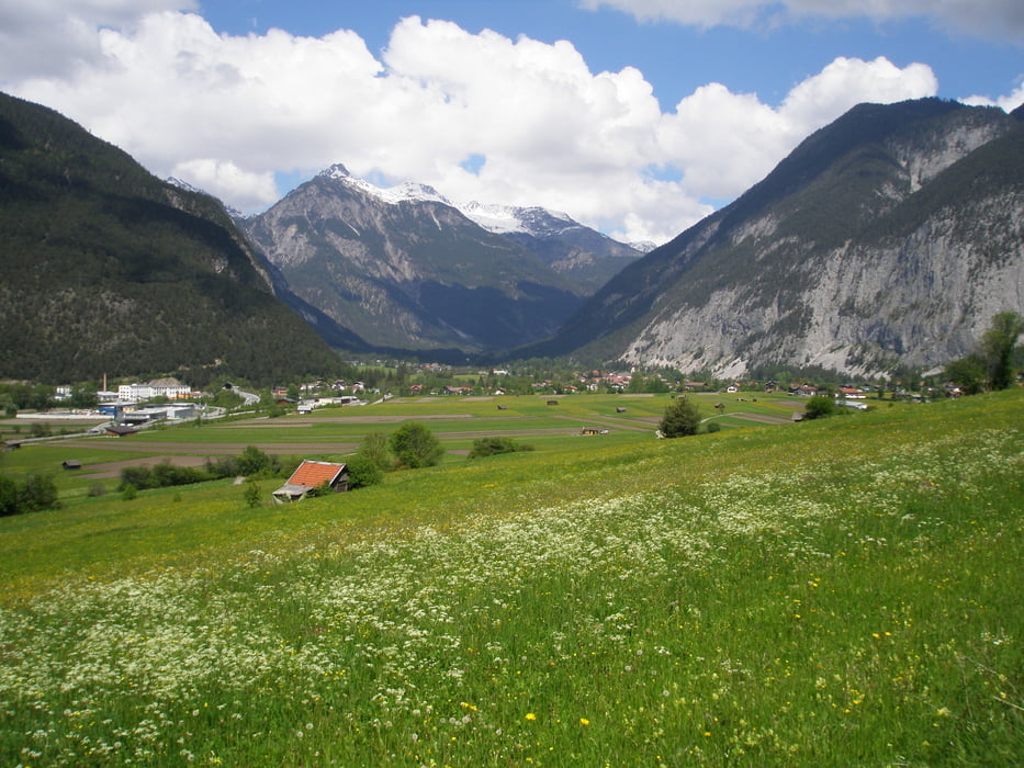
Große Runde um den Tschirgant.
Imst-Nassereith/Dormitz-Aschland-Arzkasten-Telfs-Imst.
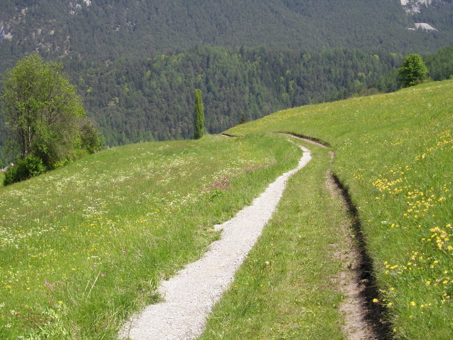
Für jeden etwas dabei. Schnelle Forststrassen und am Radweg.
Genügend Höhenmeter. Auch kurze Stücke Singletrail.
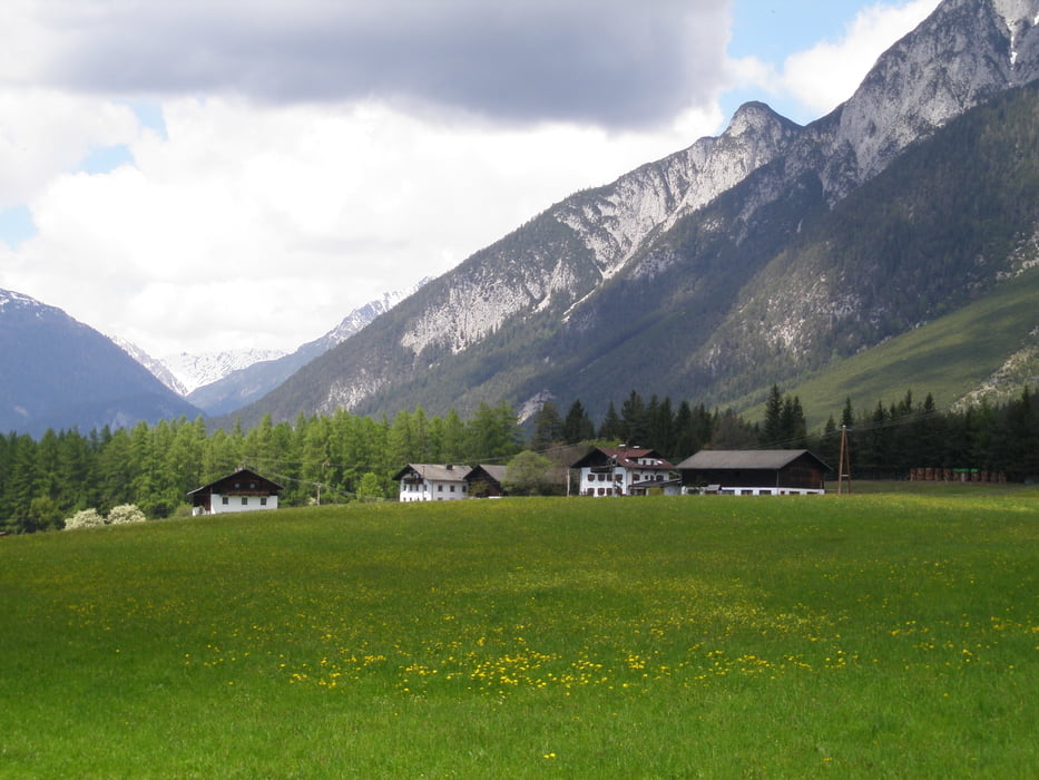
Durch das Gurgltal nach Nassereith/Dormitz. Von Roßbach auf dem Forstweg zur Hochebene nach Aschland, Weisland, Arzkasten. Forststrasse am Waldrand entlang Richtung Obsteig nach Obermieming. Am Golfplatz vorbei bis Wildermieming, Moos nach Telfs. Durch die Stadt hindurch Richtung Bahnhof zum Inntalradweg. Auf dem Radweg bis nach Imst zurück.
Tour gallery
Tour map and elevation profile
Minimum height 626 m
Maximum height 1159 m
More about the tour author
|
|
simplon73 |
Comments

GPS tracks
Trackpoints-
GPX / Garmin Map Source (gpx) download
-
TCX / Garmin Training Center® (tcx) download
-
CRS / Garmin Training Center® (crs) download
-
Google Earth (kml) download
-
G7ToWin (g7t) download
-
TTQV (trk) download
-
Overlay (ovl) download
-
Fugawi (txt) download
-
Kompass (DAV) Track (tk) download
-
Track data sheet (pdf) download
-
Original file of the author (gpx) download
More about the tour author
|
|
simplon73 |
Add to my favorites
Remove from my favorites
Edit tags
Open track
My score
Rate