

Die Tour startet offiziell in Filderstadt, natürlich kann aber auch an jedem anderen Punkt begonnen werden. Es geht meist auf geteerten, oder geschotterten Radwegen entlang. Teilweise sind auch Strassenstücke dabei.
Es geht zunächst, Richtung Schwäbisch Gmünd, dann nach Aalen, anschließend nach Ulm und zu guterletzt über die Alb zurück zum Startpunkt.
Es ist auch möglich die Tour in mehreren Etappen zu fahren, um sich die an der Strecke liegenden Städte in Ruhe anzuschauen.
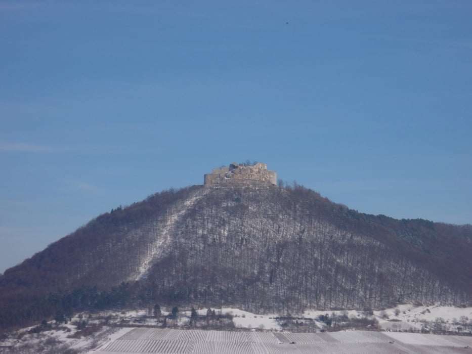
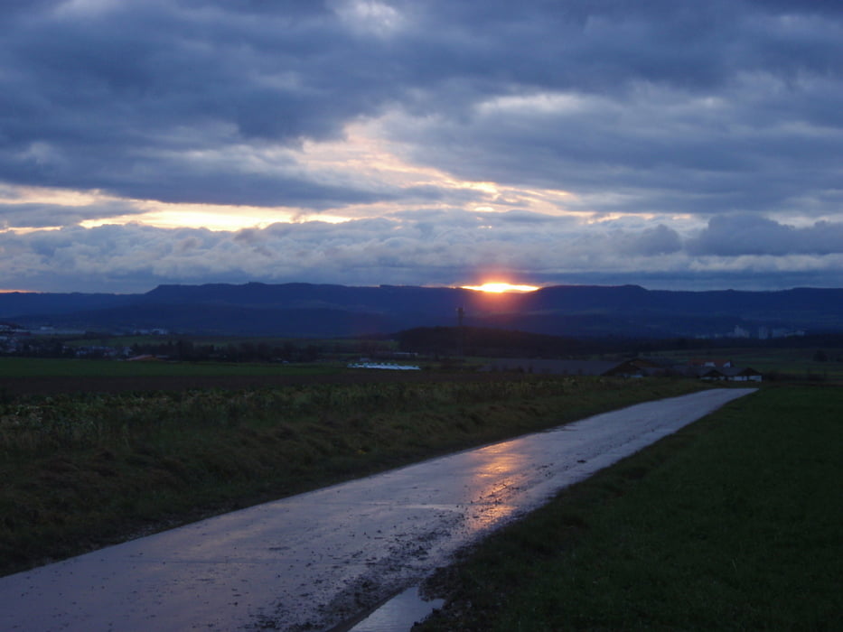
Tour gallery
Tour map and elevation profile
Minimum height 106 m
Maximum height 850 m
More about the tour author
|
|
cc-racer |
Comments

A8- Anschlussstelle B27 Rictung Reutlingen Tübingen
Ausfahrt Filderstadt-West Plattenhardt
GPS tracks
Trackpoints-
GPX / Garmin Map Source (gpx) download
-
TCX / Garmin Training Center® (tcx) download
-
CRS / Garmin Training Center® (crs) download
-
Google Earth (kml) download
-
G7ToWin (g7t) download
-
TTQV (trk) download
-
Overlay (ovl) download
-
Fugawi (txt) download
-
Kompass (DAV) Track (tk) download
-
Track data sheet (pdf) download
-
Original file of the author (gpx) download
More about the tour author
|
|
cc-racer |
Add to my favorites
Remove from my favorites
Edit tags
Open track
My score
Rate