


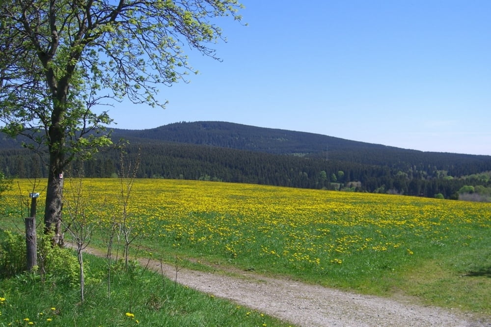
Von Zellerfeld geht es über Kreuzeck nach Hahnenklee. Wir folgen der Ausschilderung "Altarklippe". Von hier hat man einen wunderbaren Blick über die Granetalsperre hinweg ins nördliche Harzvorland. Die Straße senkt sich bis nach Wolfshagen. Hier gilt es einen kleinen Höhenzug zu überfahren, ehe man ins Innerstetal gelangt. Ein asphaltierter Radweg führt auf der alten Bahnstrecke nach Lautenthal und weiter nach Wildemann. Hier geht es links ab ins Spiegeltal und wieder hinauf auf den Harz.
Further information at
http://www.dieboehmes.deTour gallery
Tour map and elevation profile
Minimum height 259 m
Maximum height 621 m
More about the tour author
|
|
diboehme |
Comments

Parkplatz oben am Skilft in Zellerfeld
GPS tracks
Trackpoints-
GPX / Garmin Map Source (gpx) download
-
TCX / Garmin Training Center® (tcx) download
-
CRS / Garmin Training Center® (crs) download
-
Google Earth (kml) download
-
G7ToWin (g7t) download
-
TTQV (trk) download
-
Overlay (ovl) download
-
Fugawi (txt) download
-
Kompass (DAV) Track (tk) download
-
Track data sheet (pdf) download
-
Original file of the author (gpx) download
More about the tour author
|
|
diboehme |
Add to my favorites
Remove from my favorites
Edit tags
Open track
My score
Rate