Login

Forgot your login?

Cookies have to be accepted!
Your browser's cookie functionality is disabled. Please enable this functionality.

Not a member yet?

Register now
Login

Available for registred users only

Log in to use this feature.

Forgot your login?

Cookies have to be accepted!
Your browser's cookie functionality is disabled. Please enable this functionality.

Not a member yet?

Register now
Filter
Categories
Advanced filters
  • Distance (km)
  • Height
Save filters Reset filter

TrackRank

QRCode

Technical data

Distance80,9 km Height796 m Way down818 m Duration05:10 h:m Date24.05.2010
Scores Author Landscape Fun factor Fitness Technique

Statistics

163 Views Scores 17 Downloads Average
Rate
  • Track data sheet
  • Directions
  • Downloads

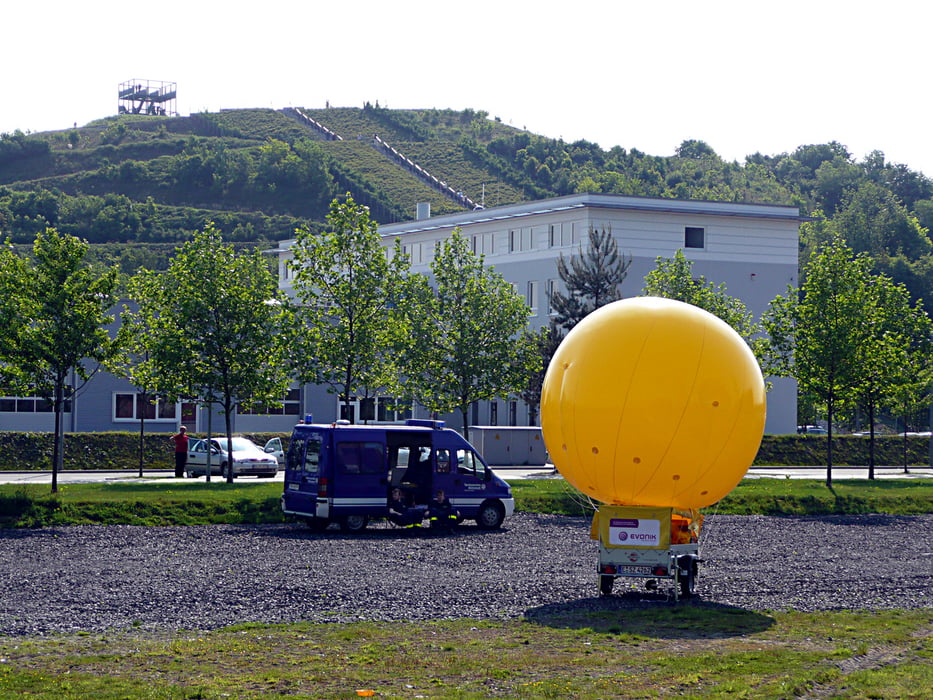
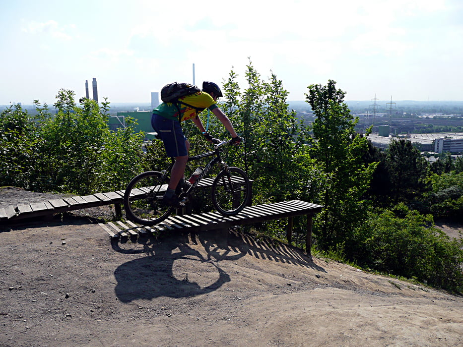
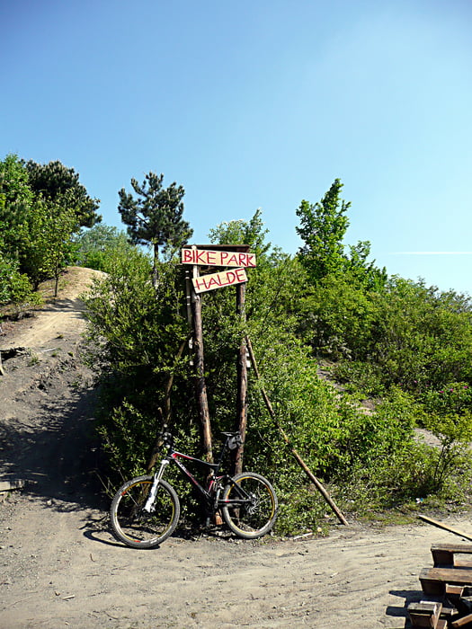
Tour von Gladbeck über Rungenberg, Hohe Ward, Hoppenbruch zur Halde Rheinbaben und über Mechtenberg und Gladbeck wieder zurück.

Leider war es für Schachtzeichen zu stürmisch.

Tour gallery

Tour map and elevation profile

  • Open Street Map
  • Google
Minimum height 28 m Maximum height 160 m Detailed view

More about the tour author

tottreter
Member since 2006

Send private message

Comments

GPS tracks

Trackpoints
  • GPX / Garmin Map Source (gpx) download
  • TCX / Garmin Training Center® (tcx) download
  • CRS / Garmin Training Center® (crs) download
  • Google Earth (kml) download
  • G7ToWin (g7t) download
  • TTQV (trk) download
  • Overlay (ovl) download
  • Fugawi (txt) download
  • Kompass (DAV) Track (tk) download
  • Track data sheet (pdf) download
  • Original file of the author (gpx) download

More about the tour author

tottreter
Member since 2006

Send private message
Share track
Add to my favorites
Remove from my favorites
Edit tags
My score
Rate
Track: Schachtzeichentour ohne Schachtzeichen
Type: Mountain bike
Distance: 80,9 km
Evaluated on:
Duration:
Day(s)
Hour(s)
Minute(s)
Score: Landscape Fun factor Fitness Technique