Login

Forgotten password?

Cookies have to be accepted!
Your browser's cookie functionality is disabled. Please enable this functionality.

Not a member yet?

Register now
Login

Available for registred users only

Log in to use this feature.

Forgotten password?

Cookies have to be accepted!
Your browser's cookie functionality is disabled. Please enable this functionality.

Not a member yet?

Register now
Filter
Categories
Advanced filters
  • Distance (km)
  • Height
Save filters Reset filter

TrackRank

QRCode

Technical data

Distance13,8 km Height535 m Way down545 m Duration04:00 h:m Date24.05.2010
Scores Author Landscape Fun factor Fitness Technique

Statistics

1306 Views Scores 77 Downloads Average
Rate
  • Track data sheet
  • Directions
  • Downloads

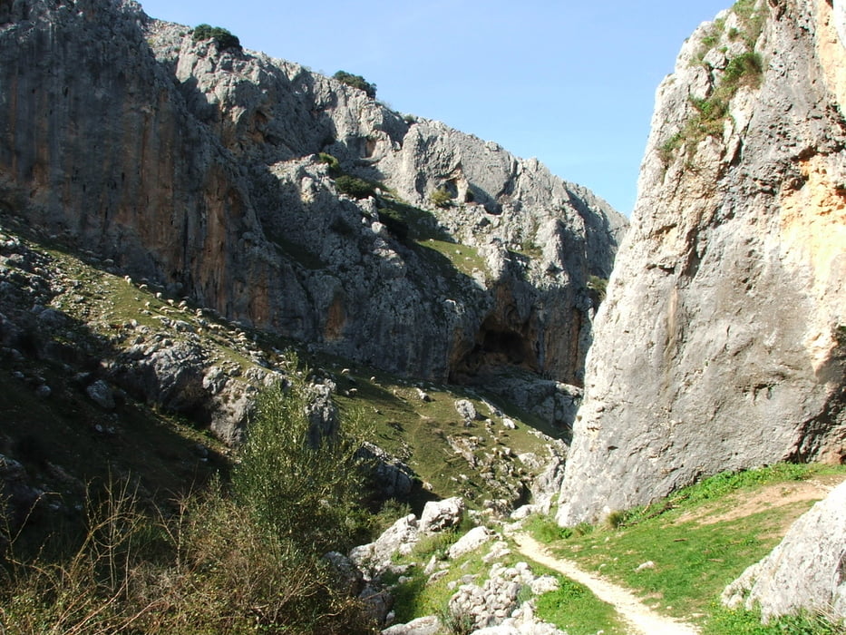
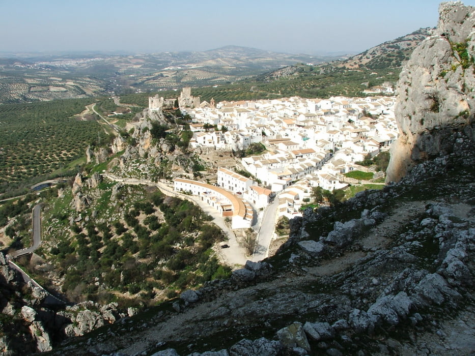
Wegverlauf: Zuheros - Fuente de la Zarzilla - Fuente de la Fuenfría - Río Bailón - Zuheros

Tour gallery

Tour map and elevation profile

  • Open Street Map
  • Google
Minimum height 621 m Maximum height 1076 m Detailed view

More about the tour author

lothardomnik
Member since 2009

Send private message

Comments

Zuheros liegt etwa in der Mitte zwischen Granada und Cordoba. Von Doña Mencía über die CO 6203. Parkplatz am südöstlichen Ortsrand unterhalb des Wasserfalls.

GPS tracks

Trackpoints
  • GPX / Garmin Map Source (gpx) download
  • TCX / Garmin Training Center® (tcx) download
  • CRS / Garmin Training Center® (crs) download
  • Google Earth (kml) download
  • G7ToWin (g7t) download
  • TTQV (trk) download
  • Overlay (ovl) download
  • Fugawi (txt) download
  • Kompass (DAV) Track (tk) download
  • Track data sheet (pdf) download
  • Original file of the author (gpx) download

More about the tour author

lothardomnik
Member since 2009

Send private message
Share track
Add to my favorites
Remove from my favorites
Edit tags
My score
Rate
Track: Andalusien: Sierra Subbética
Type: Mountain hiking
Distance: 13,8 km
Evaluated on:
Duration:
Day(s)
Hour(s)
Minute(s)
Score: Landscape Fun factor Fitness Technique