Login

Forgot your login?

Cookies have to be accepted!
Your browser's cookie functionality is disabled. Please enable this functionality.

Not a member yet?

Register now
Login

Available for registred users only

Log in to use this feature.

Forgot your login?

Cookies have to be accepted!
Your browser's cookie functionality is disabled. Please enable this functionality.

Not a member yet?

Register now
Filter
Categories
Advanced filters
  • Distance (km)
  • Height
Save filters Reset filter

TrackRank

QRCode

Technical data

Distance50,4 km Height1331 m Way down1333 m Duration00:00 h:m Date24.05.2010
Scores Author Landscape Fun factor Fitness Technique

Statistics

1841 Views 2 Scores 322 Downloads 5.00 Average
Rate
  • Track data sheet
  • Directions
  • Downloads

Eine Tour die an die Moser Tour "Von Unterjettebnberg um die Reiter Alpe" angelehnt ist, aber keine Tragepassage enthält!

Landschaftlich ein Traum, aber mit so einigen steilen Anstiegen.
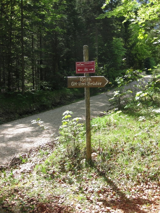
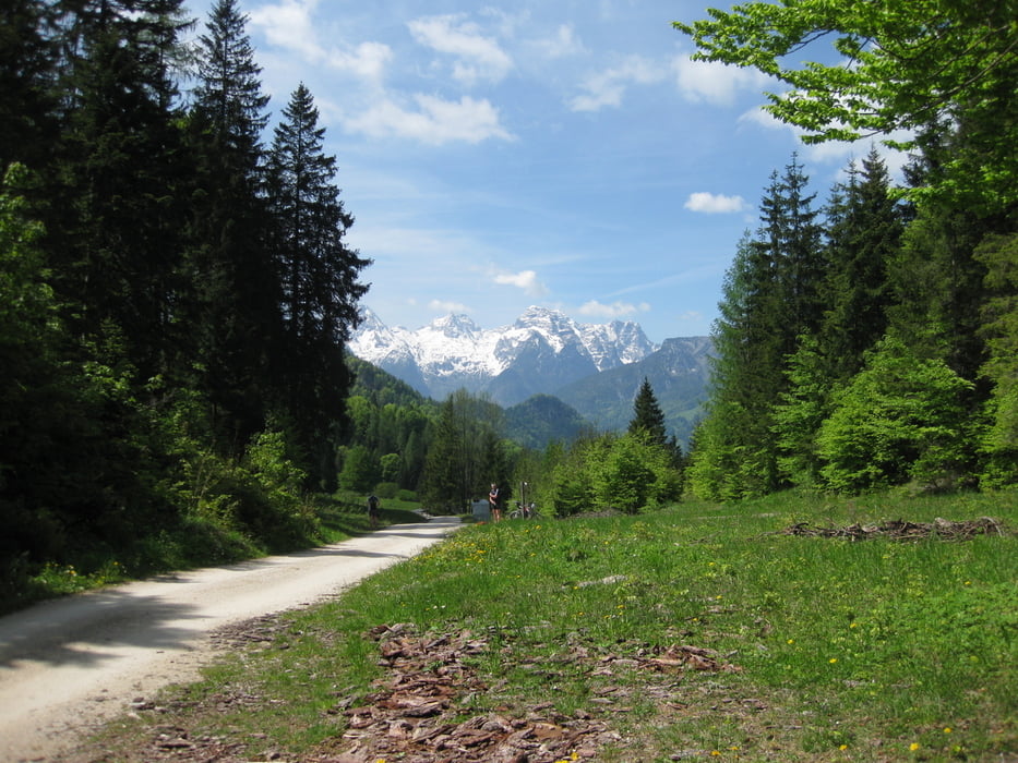
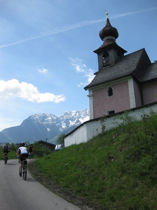
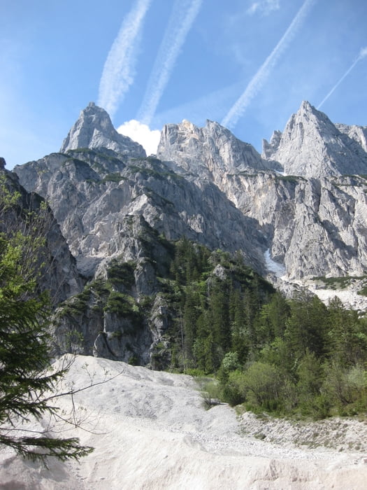
 

Tour gallery

Tour map and elevation profile

  • Open Street Map
  • Google
Minimum height 595 m Maximum height 1332 m Detailed view

More about the tour author

Passione64
Member since 2008

Send private message

Comments

Von Schneizlreuth richtung Saalachbrücke in Richtung Berhctesgaden, Ramsau fahren. Nach ca. 1 Km nach einem Anstieg rechts Richtung Dolomitwerk in einer Linkskurve rechts Abbiegen. Hier findet ihr auf der rechten Seite eineige parkplätze.

GPS tracks

Trackpoints
  • GPX / Garmin Map Source (gpx) download
  • TCX / Garmin Training Center® (tcx) download
  • CRS / Garmin Training Center® (crs) download
  • Google Earth (kml) download
  • G7ToWin (g7t) download
  • TTQV (trk) download
  • Overlay (ovl) download
  • Fugawi (txt) download
  • Kompass (DAV) Track (tk) download
  • Track data sheet (pdf) download
  • Original file of the author (tcx) download

More about the tour author

Passione64
Member since 2008

Send private message
Share track
Add to my favorites
Remove from my favorites
Edit tags
My score
Rate
Track: Um die Reiter Alpe "nicht nach Moser"
Type: Mountain bike
Distance: 50,4 km
Evaluated on:
Duration:
Day(s)
Hour(s)
Minute(s)
Score: Landscape Fun factor Fitness Technique