

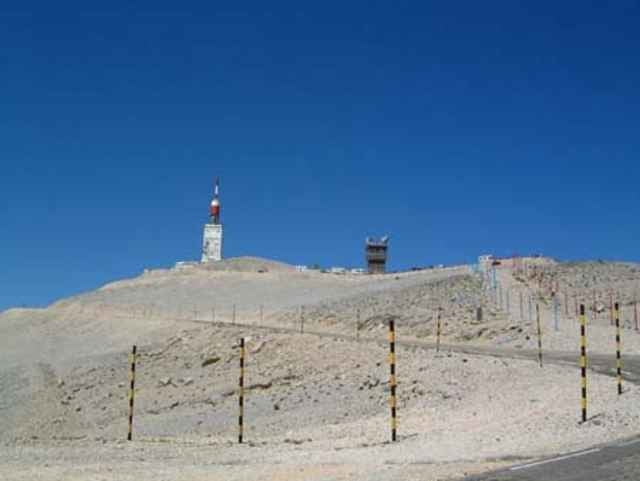
Rundfahrt mit etwa 1000 Teilnehmer auf Mont Ventoux.
Further information at
http://www.sportcommunication.comTour gallery
Tour map and elevation profile
Minimum height 104 m
Maximum height 1888 m
More about the tour author

|
Fab4ever |
Comments
Mass start in Beaumes de Venise, a small village between Orange and Carpentras.
GPS tracks
Trackpoints-
GPX / Garmin Map Source (gpx) download
-
TCX / Garmin Training Center® (tcx) download
-
CRS / Garmin Training Center® (crs) download
-
Google Earth (kml) download
-
G7ToWin (g7t) download
-
TTQV (trk) download
-
Overlay (ovl) download
-
Fugawi (txt) download
-
Kompass (DAV) Track (tk) download
-
Track data sheet (pdf) download
-
Original file of the author (gpx) download
More about the tour author
|
|
Fab4ever |
Add to my favorites
Remove from my favorites
Edit tags
Open track
My score
Rate
Seit fast 10 Jahren fahre ich jedes Jahr drei Wochen "rund um den Ventoux"; weitere schöne Abstecher in das Tal der Durance, nach Sisteron und nach Norden Nyon lohnen sich. Guter Ausgangsstandort ist Bedoin, direkt am Fuß des Ventoux. Auch Montainbiken am Ventoux und in der Umgebung ist eine tolle Sache; eine Stunde direkte Abfahrt über Waldwege haben es wie auch der Weg nach oben abseits der asphaltierten Straße, in sich.
Biken am Ventoux ist aktive Erholung und Entspannung pur.