


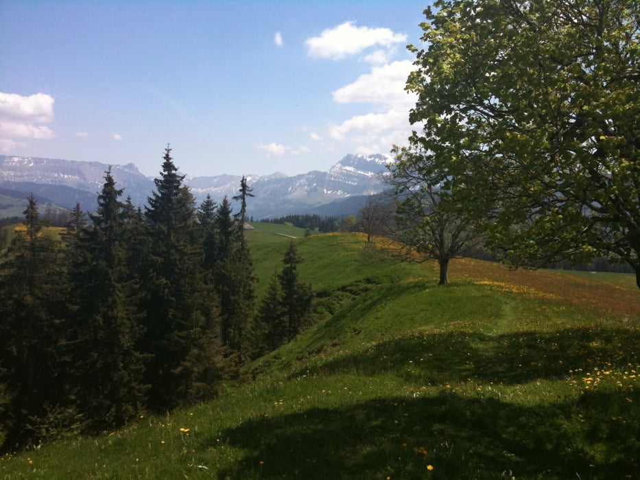
Wir fahren, von Konolfingen her kommend über Oberdiessbach, Bleiken und Heimenschwand nach Oberei - Süderen. Von dort geht es, recht steil, auf einem Asphaltsträsschen auf die Natersalp. Beim Vermessungs-Punkt auf 1213 m.ü.M. geniesst man ein überwältigendes Panorama mit 360°-Rundumsicht in alle Himmelsrichtungen.
Danach geht es teils auf Singeltrails, teils auf Karrwegen und steilen Schottersträsschen hinunter nach Röthenbach. Zeit zum Einkehren.
Von dort fahren wir ins Fambachtal Richtung Farnern, übers Hölzli auf die Martisegg, über den Tunersberg runter in die Längeney und wieder rauf nach Oberhünigen und zurück nach Konolfingen.
Further information at
http://www.emmental.ch/de/Tour gallery


Tour map and elevation profile
Minimum height 611 m
Maximum height 1218 m
More about the tour author
|
|
uphillmarc |
Comments

Die Tour kann auch von Eggiwil oder Röthenbach aus gestartet werden. Alternative kann die Natersalp vom Schallenberg her angefahren werden
GPS tracks
Trackpoints-
GPX / Garmin Map Source (gpx) download
-
TCX / Garmin Training Center® (tcx) download
-
CRS / Garmin Training Center® (crs) download
-
Google Earth (kml) download
-
G7ToWin (g7t) download
-
TTQV (trk) download
-
Overlay (ovl) download
-
Fugawi (txt) download
-
Kompass (DAV) Track (tk) download
-
Track data sheet (pdf) download
-
Original file of the author (gpx) download
More about the tour author
|
|
uphillmarc |
Add to my favorites
Remove from my favorites
Edit tags
Open track
My score
Rate