
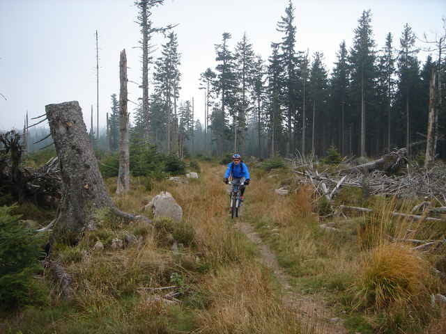

Ausgangspunkt: Freudenstadt
Routenverlauf: Seewald - Kaltenbronn - Dobel - Neuenbürg - Pforzheim - Wimsheim
Die Route entspricht nicht genau dem Schwarzwälder Höhenradweg West. Nach ca. 75km sind wir in Richtung Wimsheim weitergefahren. Eigentlich endet die "offizielle" Tour nach 100 km in Maulbronn.
Routenverlauf: Seewald - Kaltenbronn - Dobel - Neuenbürg - Pforzheim - Wimsheim
Die Route entspricht nicht genau dem Schwarzwälder Höhenradweg West. Nach ca. 75km sind wir in Richtung Wimsheim weitergefahren. Eigentlich endet die "offizielle" Tour nach 100 km in Maulbronn.
Further information at
http://www.landratsamt-freudenstadt.de/servlet/PB/show/1170411/FR-KarteSHW.pdfTour gallery
Tour map and elevation profile
Minimum height 256 m
Maximum height 986 m
More about the tour author

|
ehrismann |
Comments
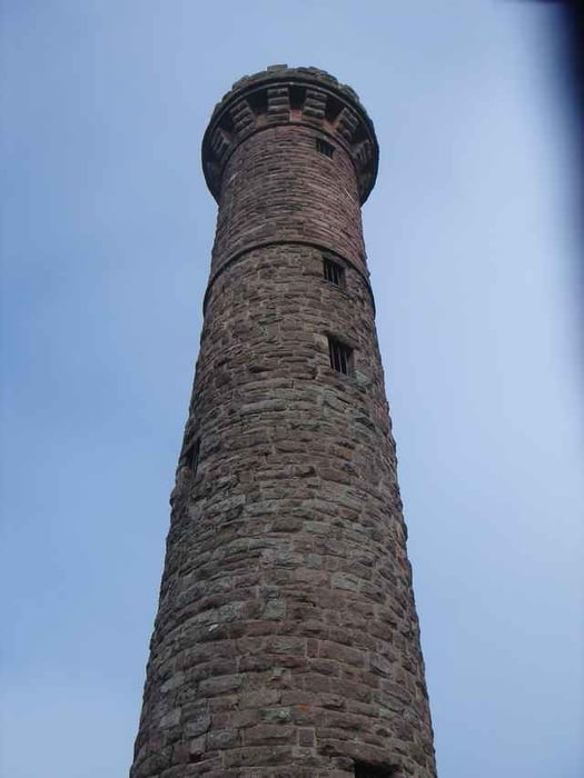
Aus Richtung Pforzheim auf der B294 bis Freudenstadt
GPS tracks
Trackpoints-
GPX / Garmin Map Source (gpx) download
-
TCX / Garmin Training Center® (tcx) download
-
CRS / Garmin Training Center® (crs) download
-
Google Earth (kml) download
-
G7ToWin (g7t) download
-
TTQV (trk) download
-
Overlay (ovl) download
-
Fugawi (txt) download
-
Kompass (DAV) Track (tk) download
-
Track data sheet (pdf) download
-
Original file of the author (gpx) download
More about the tour author
|
|
ehrismann |
Add to my favorites
Remove from my favorites
Edit tags
Open track
My score
Rate
Bin ich gefahren