

Deze tocht start zoals altijd in de Commandeurstraat in Mechelen.
Daarna gaan we links af de elzetterweg omhoog,waarna we boven aan de berg links af slaan richting het beekje wat we oversteken.
Hierna voert de tour door het elzetterbos via een pitige beklimming (23%) naar het boscafe "het hijgend hert" waar we verder het vijlenerbos in fietsen tot aan de grensovergang met Belgie.
Vandaar gaan we uphill naar het 3 landenpunt in het vaalserbos en steken we door naar het akenerbos.
Hier maken wij een ruime lus door,met mooi paden en enige ***singletrails.
Rode waypoints=heenweg Blauwe waypoints=terugweg.
Bij rijden van mijn tours is een commentaar altijd welkom.
This tour starts as always in the Commandeurstreet in Mechelen.
Then we left the elzetterweg up, and we left the mountain top left towards the creek we cross.
Performs below the tour through the elzetterwood pitige climb (23%) to the boscafe "the panting deer" where we continue the vijlenerbos in cycling to the border with Belgium.
Hence we go uphill to the 3 point land in the stabbing vaalserbos and we carry out the akenerbos.
Here we make a large loop, with beautiful paths and trails only *** single.
Waypoints waypoints Red = Blue = back our way.
In my riding tours are comments always welcome.
Diese Tour beginnt wie immer in der Commandeur-Straße in Mechelen.
Dann verließen wir die elzetterweg up, und wir verließen den Berg nach oben in Richtung des Baches links überqueren wir.
Führt unter dem Rundgang durch die elzetterwald steilen klettern (23%) an die boscafe "das Keuchen Hirsch", wo wir die vijlenerbos weiterhin im Radsport an der Grenze zu Belgie.
Daher gehen wir bergauf bis zur 3-Punkt-Land in der stechenden vaalserbos und wir führen die akenerbos.
Hier machen wir eine große Schleife, mit schönen Wegen und *** Singletrails.
Wegpunkte Wegpunkte Rot = Blau = unserem Weg zurück.
In meinem touren sind Kommentare immer willkommen.
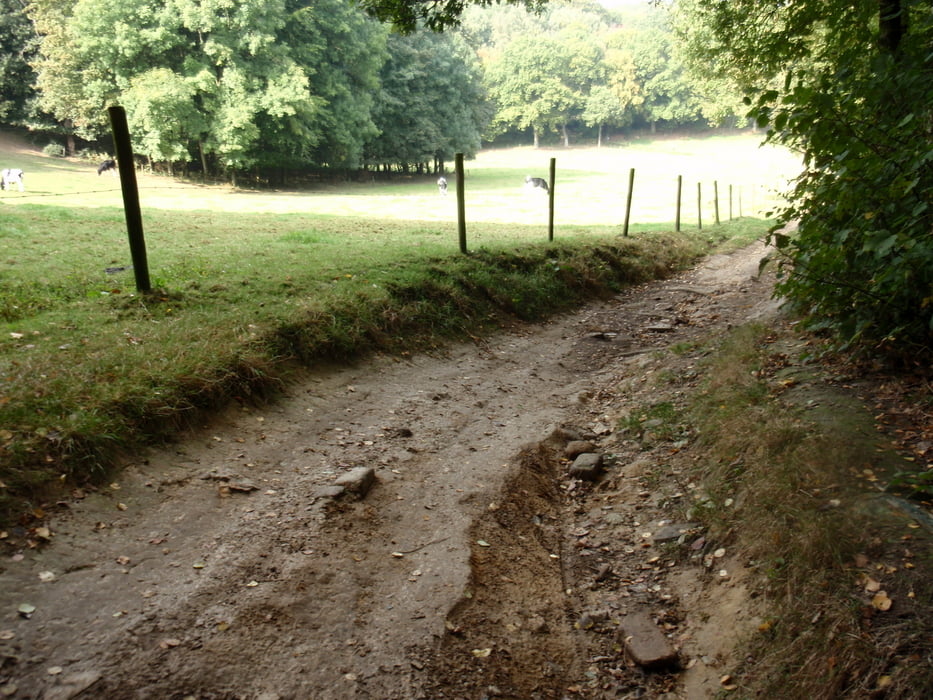
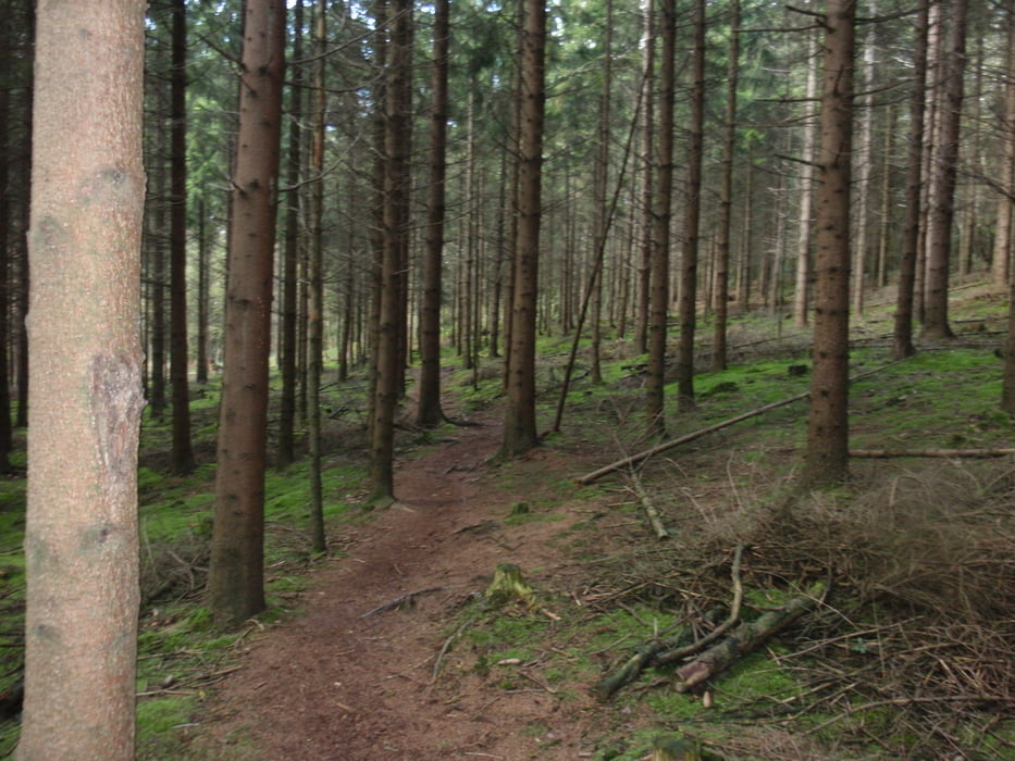
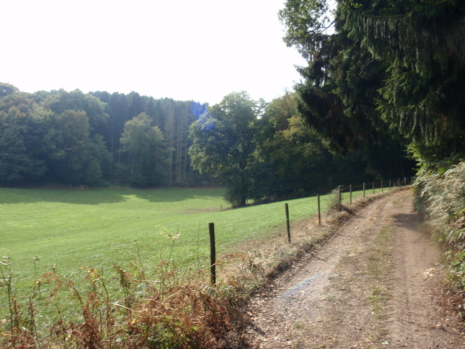
Tour gallery
Tour map and elevation profile
Minimum height 111 m
Maximum height 361 m
More about the tour author
|
|
BertAusten |
Comments

Commandeurstraat 6281 AM Mechelen
GPS tracks
Trackpoints-
GPX / Garmin Map Source (gpx) download
-
TCX / Garmin Training Center® (tcx) download
-
CRS / Garmin Training Center® (crs) download
-
Google Earth (kml) download
-
G7ToWin (g7t) download
-
TTQV (trk) download
-
Overlay (ovl) download
-
Fugawi (txt) download
-
Kompass (DAV) Track (tk) download
-
Track data sheet (pdf) download
-
Original file of the author (gpx) download
More about the tour author
|
|
BertAusten |
Add to my favorites
Remove from my favorites
Edit tags
Open track
My score
Rate