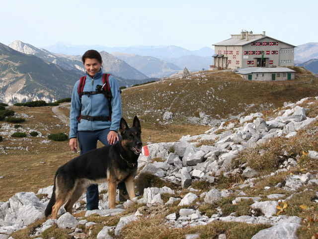
Muskel schonend mit der Raxseilbahn aufwärts zur Bergstation. Von dort Richtung Otto-Schutzhaus, rechts vorbei, Richtung Seehütte. Bis hierher ca. 1´20, mit Fotopausen. Weiter über den Trinksteinsattel, Richtung Habsburghaus, alles gut beschriftet. Im Notfall in der Seehütte einkehren, nette Wirtsleute und Schäferhündin begrüßen u nach dem Weg fragen. Seehütte bis Habsburghaus weitere ca 1´30. Zurück bis zur Seehütte denselben Weg, danach rechts abbiegend über die Preiner Wand ( harmloser, felsiger Anstieg) auf die Hohe Kanzel (Gipfelkreuz)u weiter zum Jakobskogel, ebenfalls mit Gipfelkreuz. Direkt hinter dem Gipfelkreuz gerade runter zum Ottohaus. Amüsanter Weg direkt durch die dichten Latschen hindurch. Vom Ottohaus denselben Weg zurück zur Bergstation.
Unterwegs unzählige, neugierige Gämsen.(Hunde unbedingt anleinen....) Absolut ungefährliche Wanderung, allerdings zum Großteil auf schottrigem, steinigem Boden.
Unterwegs unzählige, neugierige Gämsen.(Hunde unbedingt anleinen....) Absolut ungefährliche Wanderung, allerdings zum Großteil auf schottrigem, steinigem Boden.
Further information at
http://www.schaziehof.atTour gallery
Tour map and elevation profile
Minimum height 1597 m
Maximum height 1949 m
Comments

Graz - Semmering - Gloggnitz - Reichenau
GPS tracks
Trackpoints-
GPX / Garmin Map Source (gpx) download
-
TCX / Garmin Training Center® (tcx) download
-
CRS / Garmin Training Center® (crs) download
-
Google Earth (kml) download
-
G7ToWin (g7t) download
-
TTQV (trk) download
-
Overlay (ovl) download
-
Fugawi (txt) download
-
Kompass (DAV) Track (tk) download
-
Track data sheet (pdf) download
-
Original file of the author (gpx) download
Add to my favorites
Remove from my favorites
Edit tags
Open track
My score
Rate


