


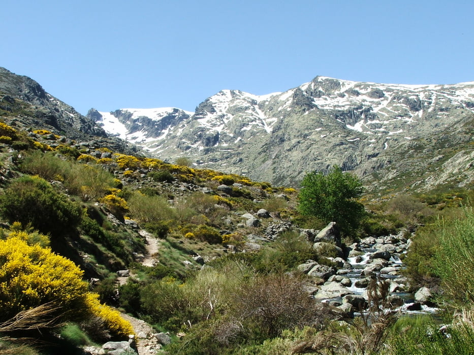
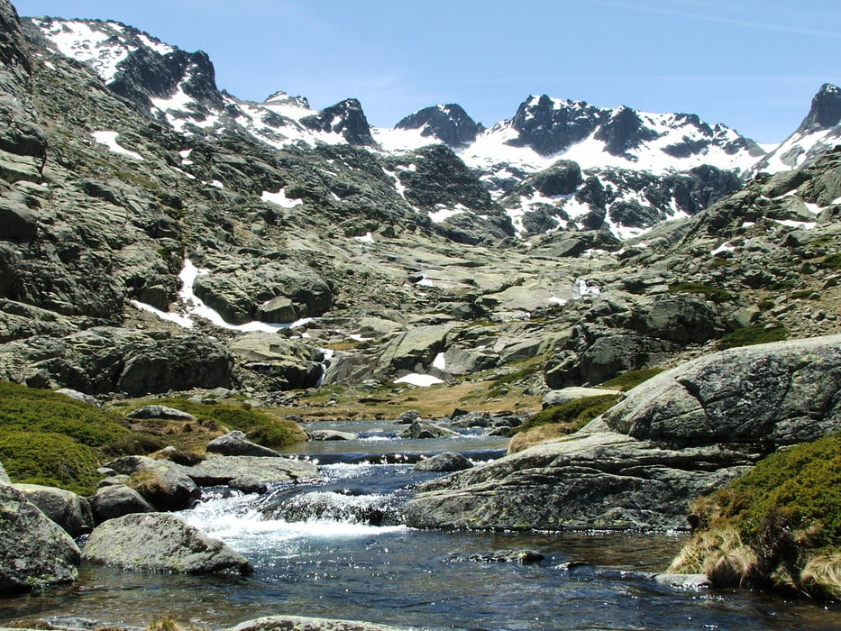
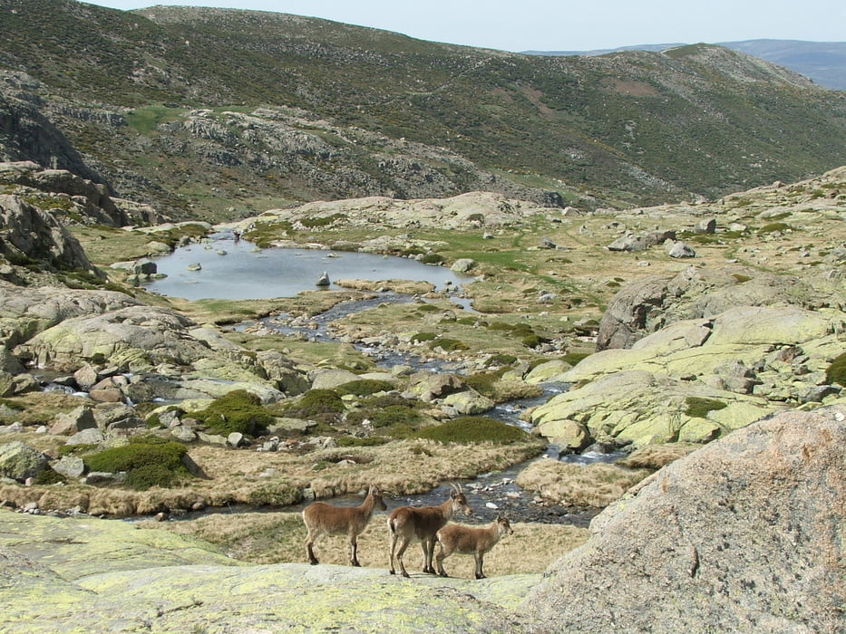
Navalperal de Tormes - Chozo de la Barranca - Laguna Majalaescoba - Cinco Lagunas. Rückweg wie Hinweg, also insgesamt fast 24 km.
Wenn man an der Laguna Majalaescoba umkehrt und auf den schwierigen und sehr anstrengenden Aufstieg zu den Cinco Lagunas verzichtet, ist die Tour zwei Stunden kürzer.
Tour gallery

Tour map and elevation profile
Minimum height 1229 m
Maximum height 2118 m
More about the tour author
|
|
lothardomnik |
Comments

Anfahrt über AV-941 bis Navalperal de Tormes. Eine sehr enge Straße führt in südöstlicher Richtung aus dem Ort heraus abwärts und überquert nach wenigen hundert Metern den Río Tormes. Direkt dahinter gibt es einen Parkplatz.
GPS tracks
Trackpoints-
GPX / Garmin Map Source (gpx) download
-
TCX / Garmin Training Center® (tcx) download
-
CRS / Garmin Training Center® (crs) download
-
Google Earth (kml) download
-
G7ToWin (g7t) download
-
TTQV (trk) download
-
Overlay (ovl) download
-
Fugawi (txt) download
-
Kompass (DAV) Track (tk) download
-
Track data sheet (pdf) download
-
Original file of the author (gpx) download
More about the tour author
|
|
lothardomnik |
Add to my favorites
Remove from my favorites
Edit tags
Open track
My score
Rate