


Ausgehend von Sandersdorf bei Bitterfeld sind wir durch das Tal der Mulde bis Dessau gefahren. Von dort aus ging es entlang der Elbe bis Wittenberg. Bei Coswig haben die Elbe mithilfe der Fähre überquert.
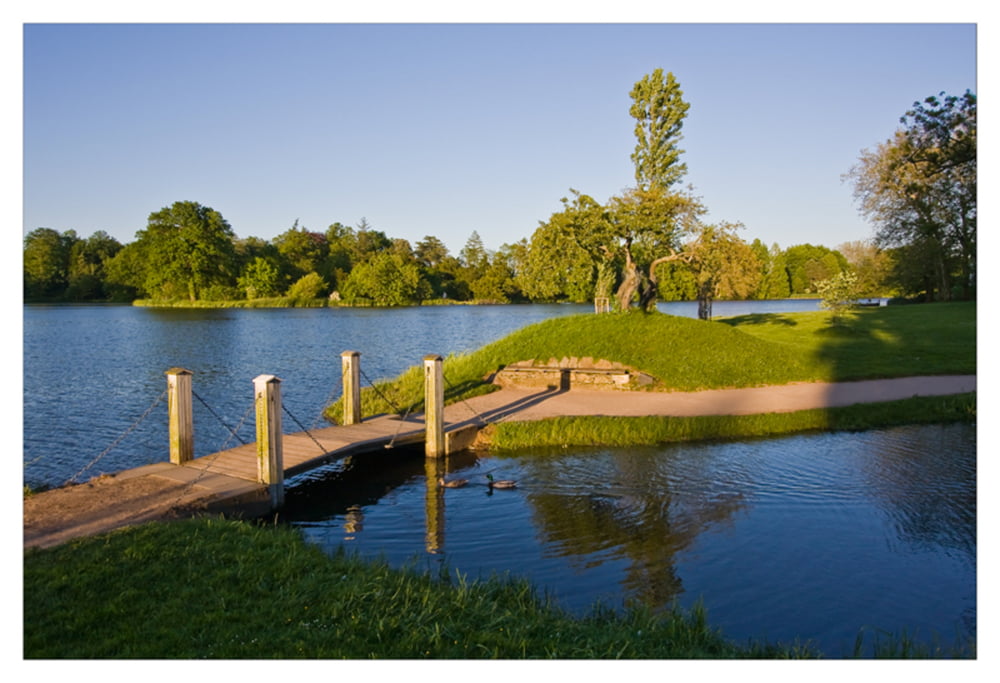
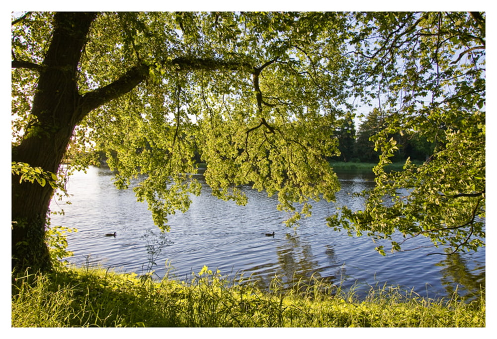
Besonders schön ist die Auenlandschaft entlang des Muldentals, das zusammen mit dem Elbtal in dieser Gegend zum Biosphärenreservats Flusslandschaft Mittelelbe gehört und seit November 2000 auf der Welterbeliste der UNESCO steht.
Further information at
http://www.muldentalradweg.de/Tour gallery
Tour map and elevation profile
Minimum height 50 m
Maximum height 112 m
More about the tour author

|
dirkbadt |
Comments

Das Muldental ist bequem mit der Bahn über Bitterfeld-Wolfen zu erreichen.
GPS tracks
Trackpoints-
GPX / Garmin Map Source (gpx) download
-
TCX / Garmin Training Center® (tcx) download
-
CRS / Garmin Training Center® (crs) download
-
Google Earth (kml) download
-
G7ToWin (g7t) download
-
TTQV (trk) download
-
Overlay (ovl) download
-
Fugawi (txt) download
-
Kompass (DAV) Track (tk) download
-
Track data sheet (pdf) download
-
Original file of the author (gpx) download
More about the tour author
|
|
dirkbadt |
Add to my favorites
Remove from my favorites
Edit tags
Open track
My score
Rate