


Bike und Hike Tour von Pietra Ligure auf den Mt. Carmo (Toptour! )
überarbeitet 15.04.2011 -> neu gefahren 02.04.2011
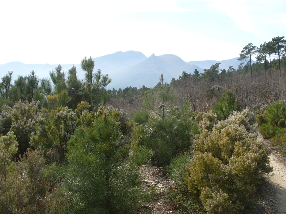
Hinauf Güterweg, die letzten 2km bergauf Trail und Schiebepassage ca. 20min.
Hinunter ein anspruchsvoller alter steiniger Pfad S2, etwas S3.
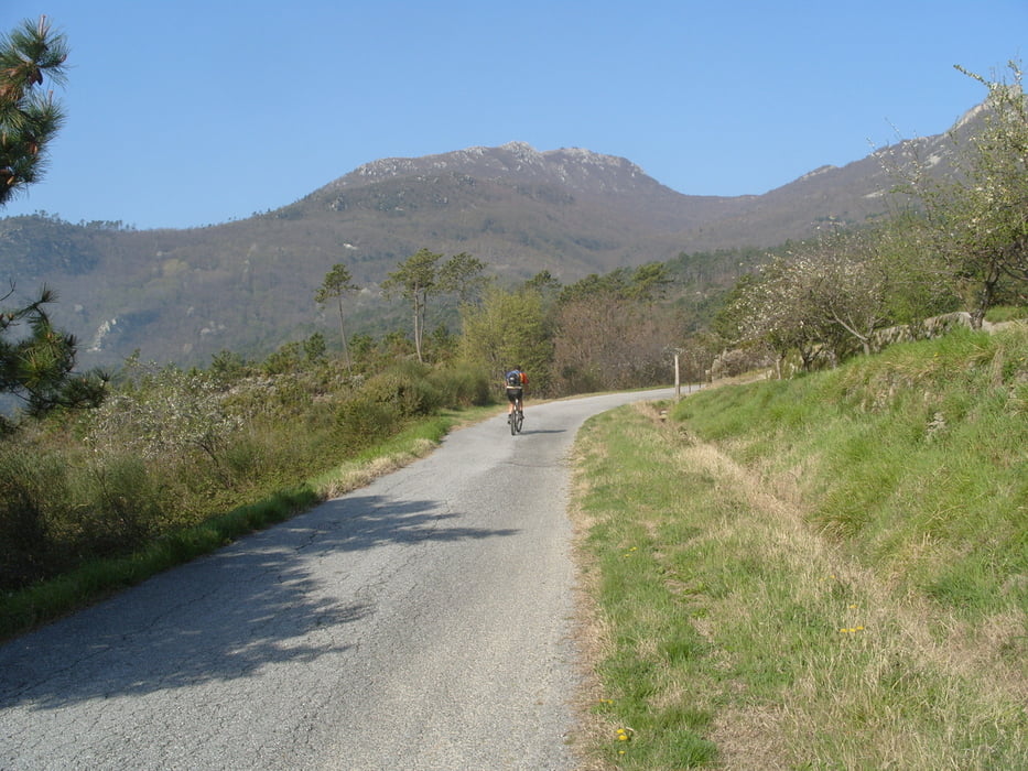
Alternativ Anfahrt von Melogno herüber auf Güterweg (siehe OSM -> Karte auf Mapnik oder OSM Fahrrad umschalten).
Der Weg hinunter ist von der Orientierung recht anspruchsvoll, ein GPS ist sinnvoll. Sonst kann man sich verirren, da man sich viel im Wald bewegt und über längere Strecken nicht hinunter sieht.
Bei Anfahrt von Melogno könnte man den Mt. Carmo auch zu Fuß besteigen und die Auffahrt abfahren, dann ist das eine fahrtechnisch einfache Variante.
Bei den Wanderungen hat es einige Touren am Mt. Carmo, die eine oder andere Strecke ist sicher zum MTB S2 / S3 geeignet.
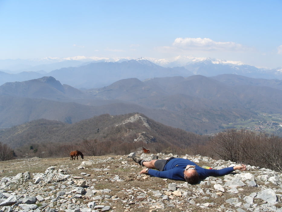
Für mich eine der schönsten (nicht angelegten MTB) Touren der Gegend. Die Abfahrt ist sehr lang und fahrtechnisch interessant (fordernd). Danke für die Tour an Raphael B. aus Lindau
Tour gallery
Tour map and elevation profile
Minimum height -17 m
Maximum height 1389 m
More about the tour author
|
|
skyhopper |
Comments

Pietra Ligure + Loano liegen zwischen Finale Ligure und Albenga.
GPS tracks
Trackpoints-
GPX / Garmin Map Source (gpx) download
-
TCX / Garmin Training Center® (tcx) download
-
CRS / Garmin Training Center® (crs) download
-
Google Earth (kml) download
-
G7ToWin (g7t) download
-
TTQV (trk) download
-
Overlay (ovl) download
-
Fugawi (txt) download
-
Kompass (DAV) Track (tk) download
-
Track data sheet (pdf) download
-
Original file of the author (gpx) download
More about the tour author
|
|
skyhopper |
Add to my favorites
Remove from my favorites
Edit tags
Open track
My score
Rate